
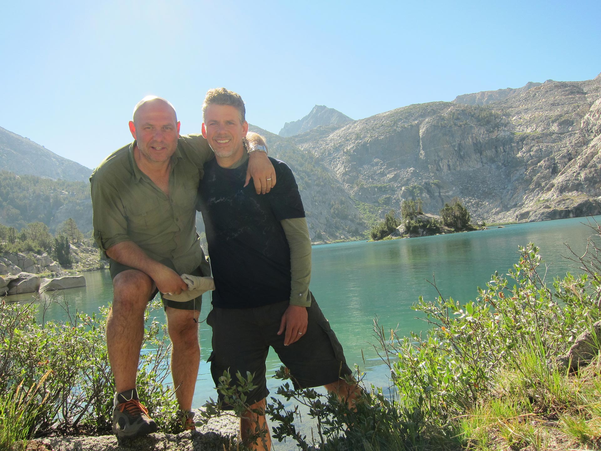
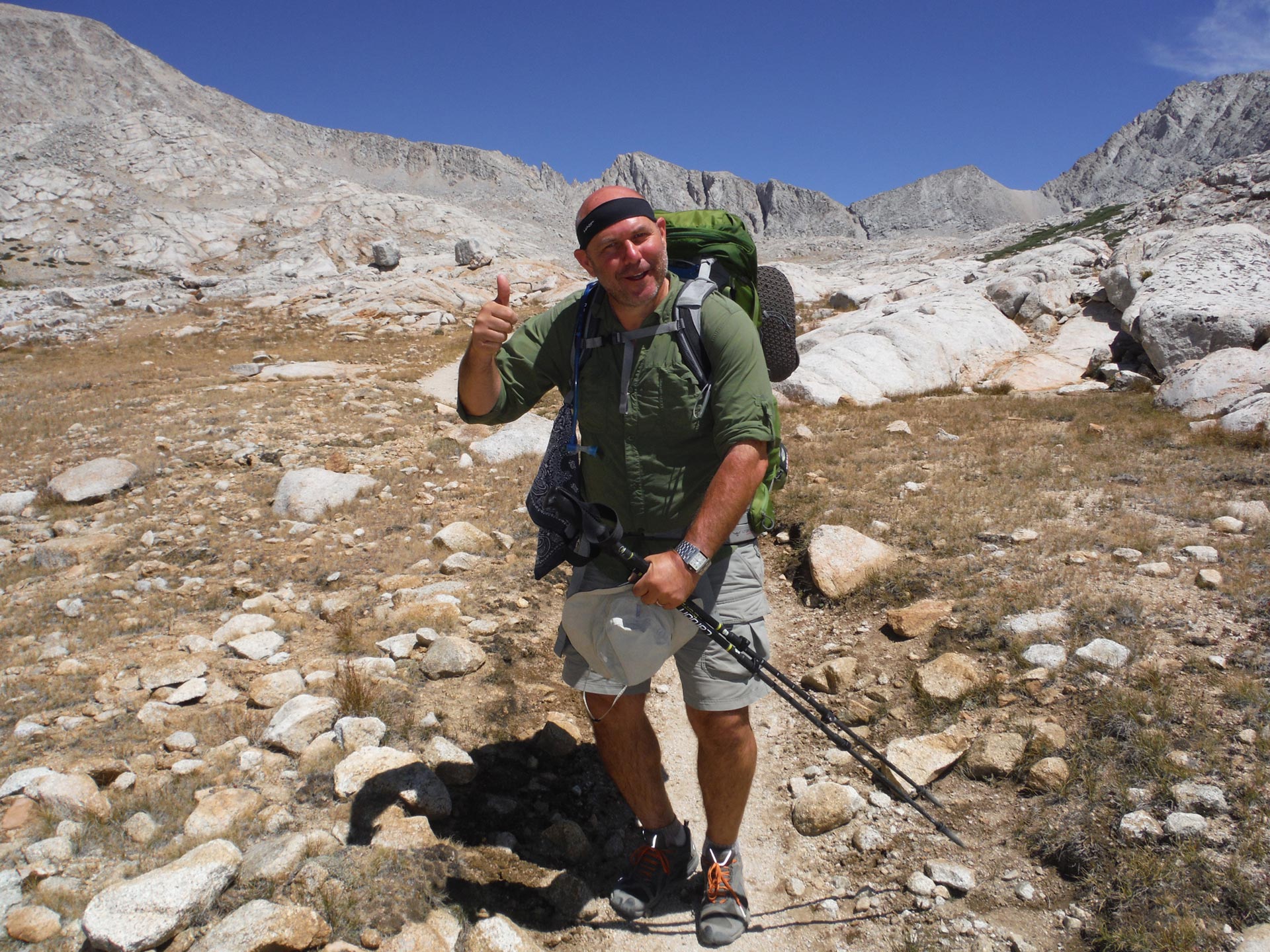
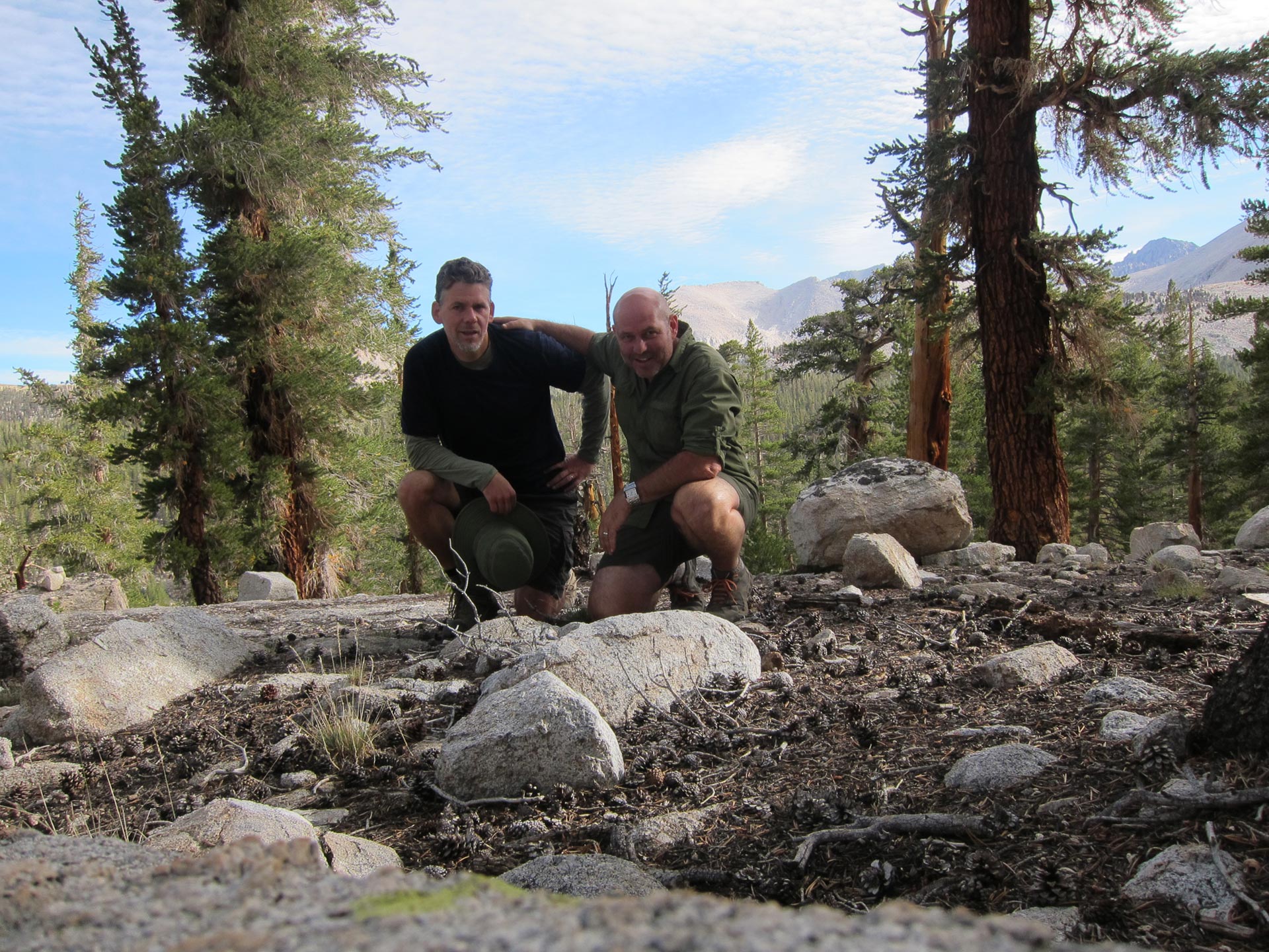
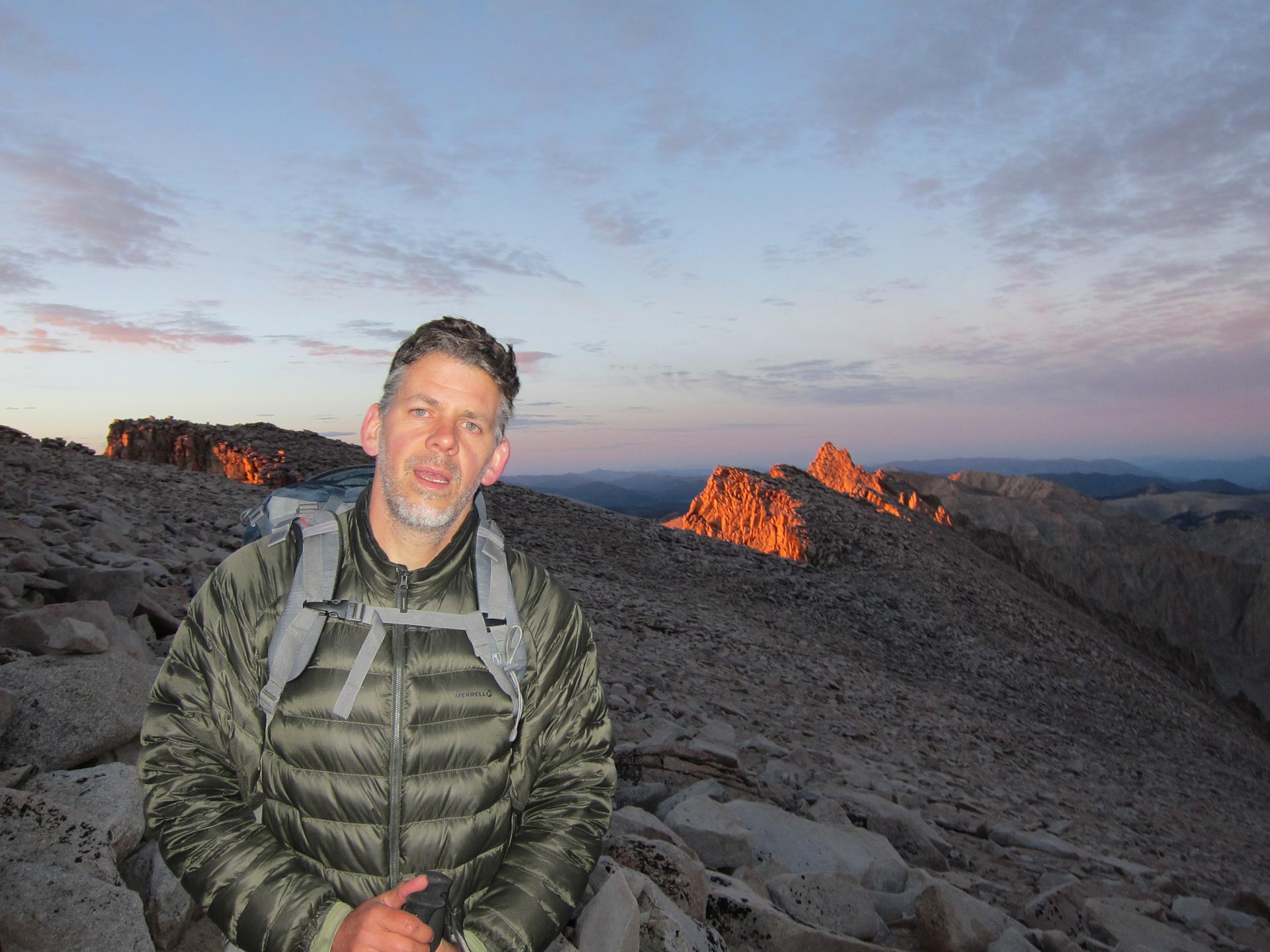
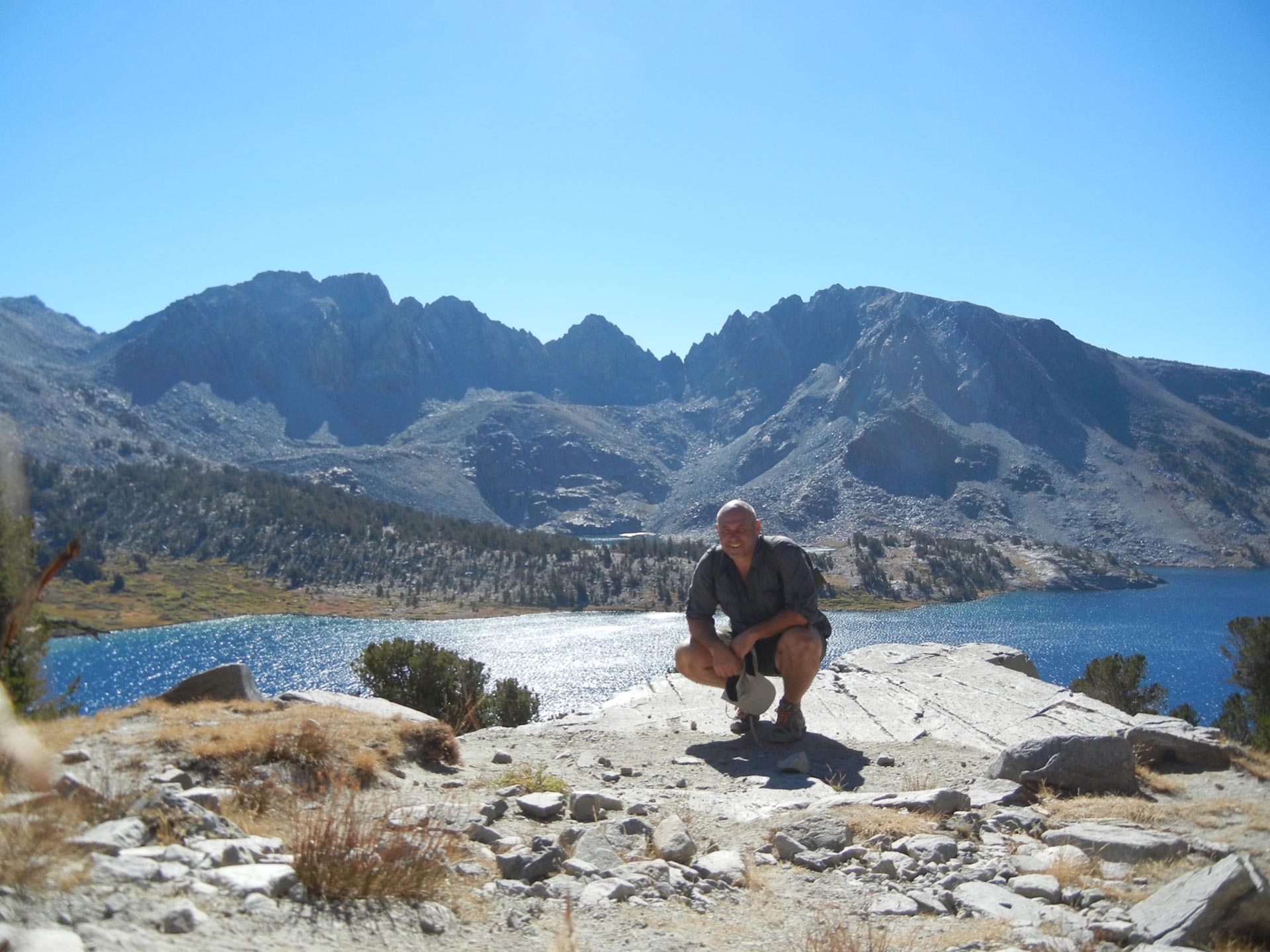
Above: Me And Dennis on Whitney Summit
In August 2013, my buddy Dennis and I decided to hike about 70 miles of the John Muir Trail (JMT), summit Mt. Whitney, and have a great time. It took some doing, but it was definitely one of the best hiking trips of my life. Dennis was a trooper. He even carried a 1 liter platypus bottle of scotch for a few days until we decided the extra 2 lbs of weight wasn’t worth it. You really don’t feel like scotch when you’re hiking with a pack on all day at altitude. RIP Laphroaig.
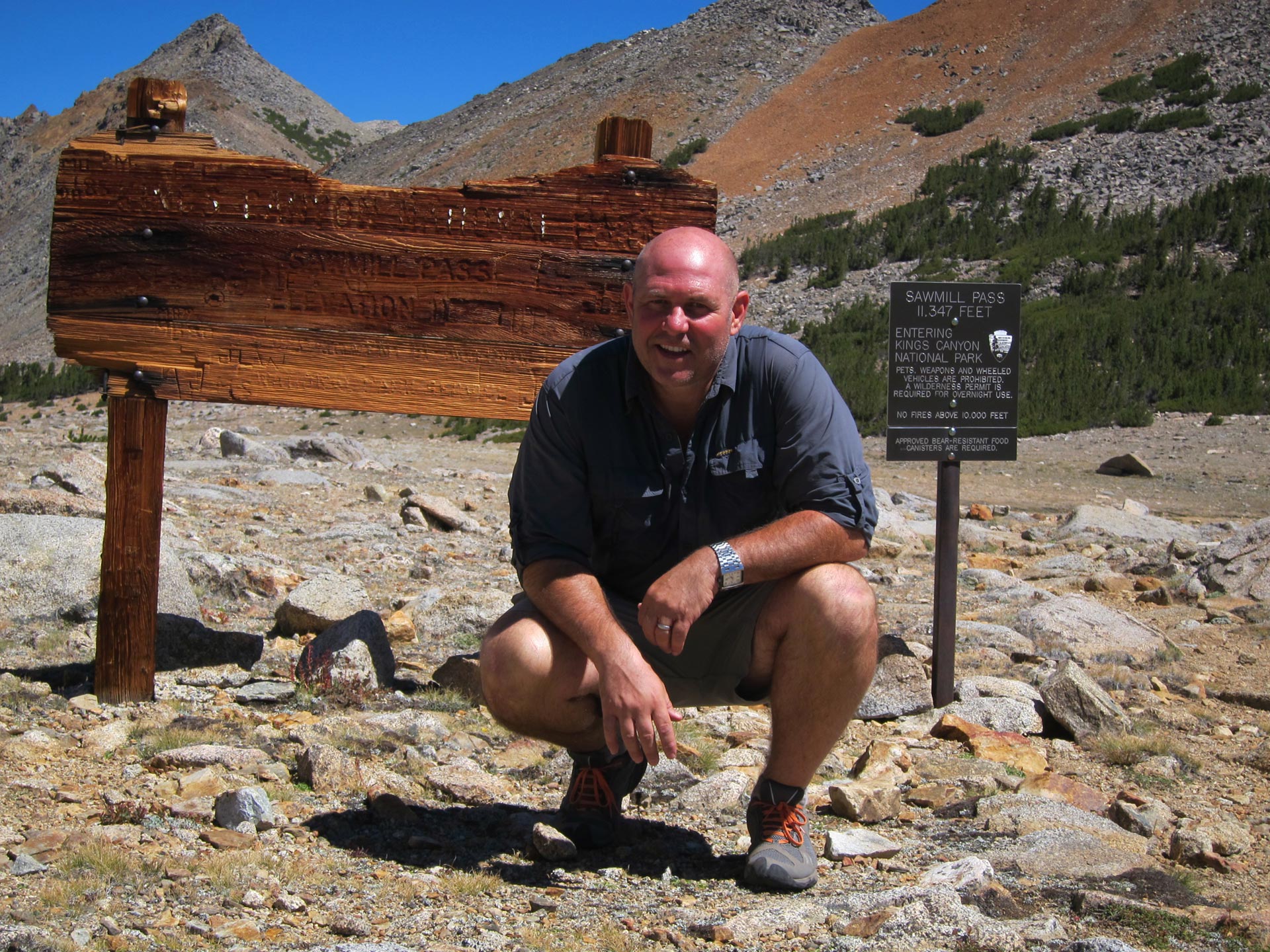
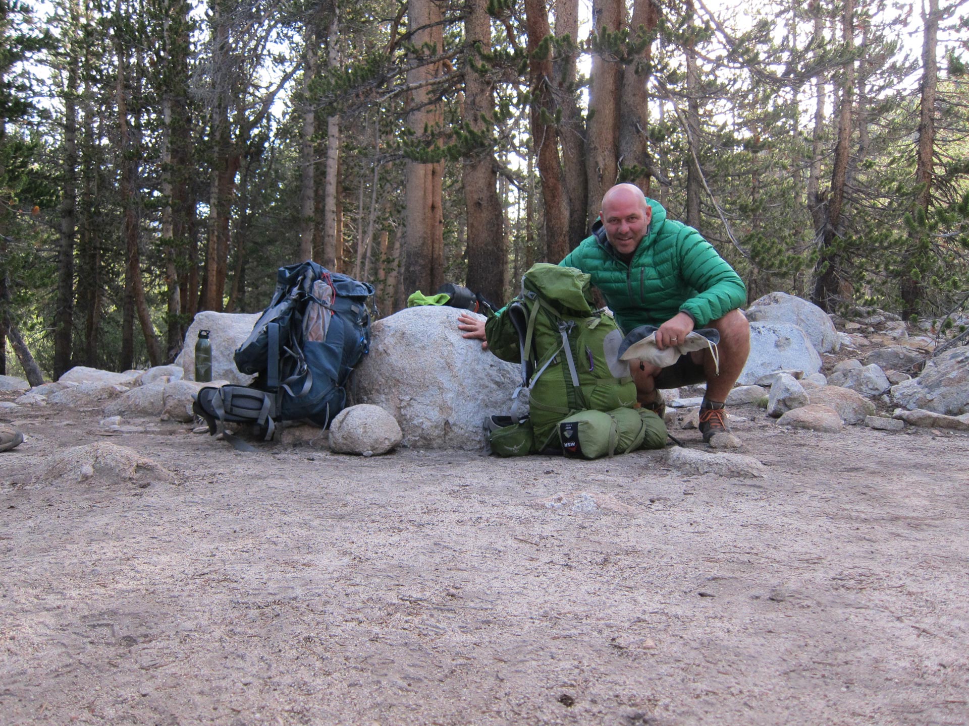
DAY 1 Sawmill Trailhead to Sawmill Lake
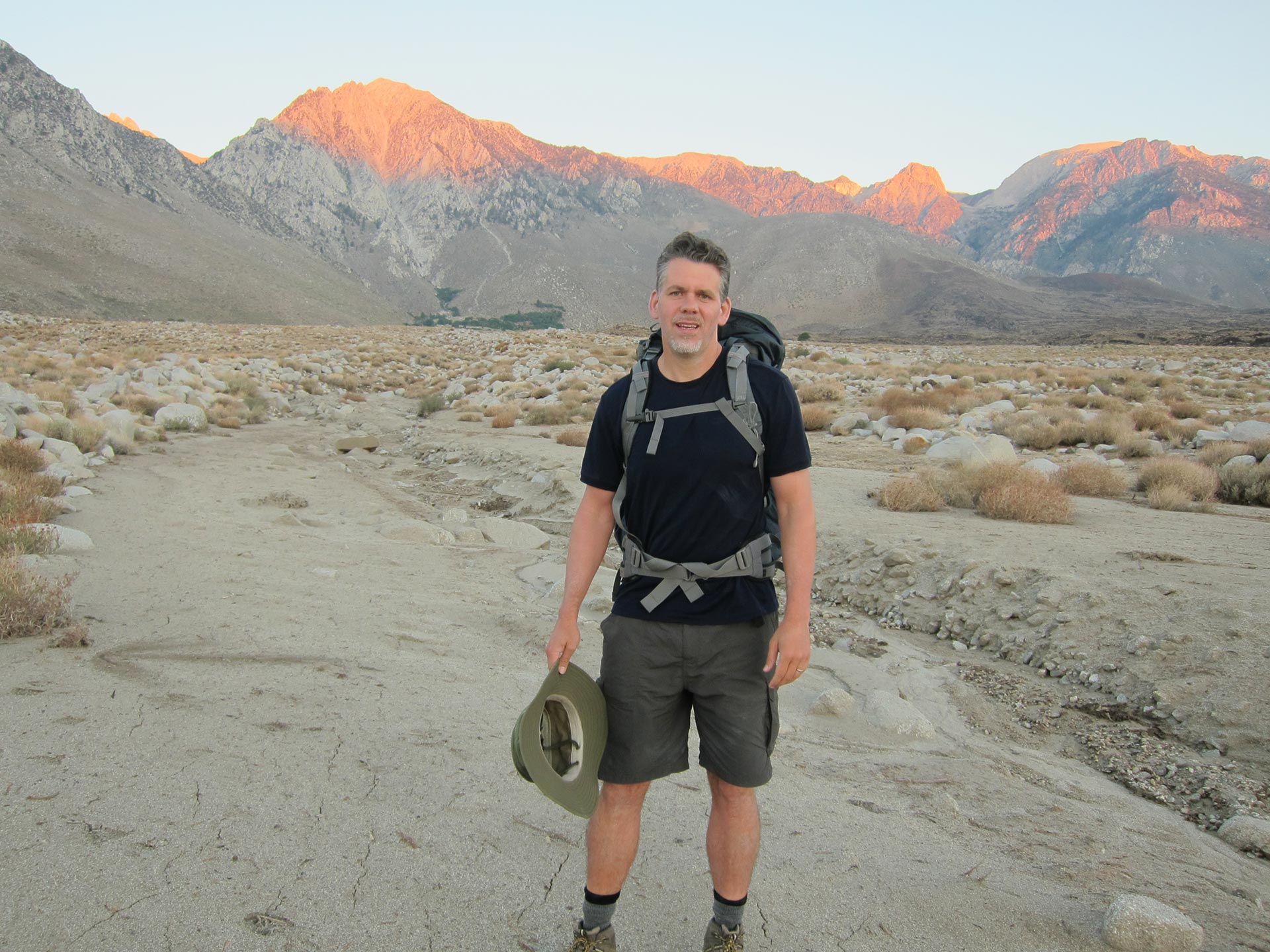
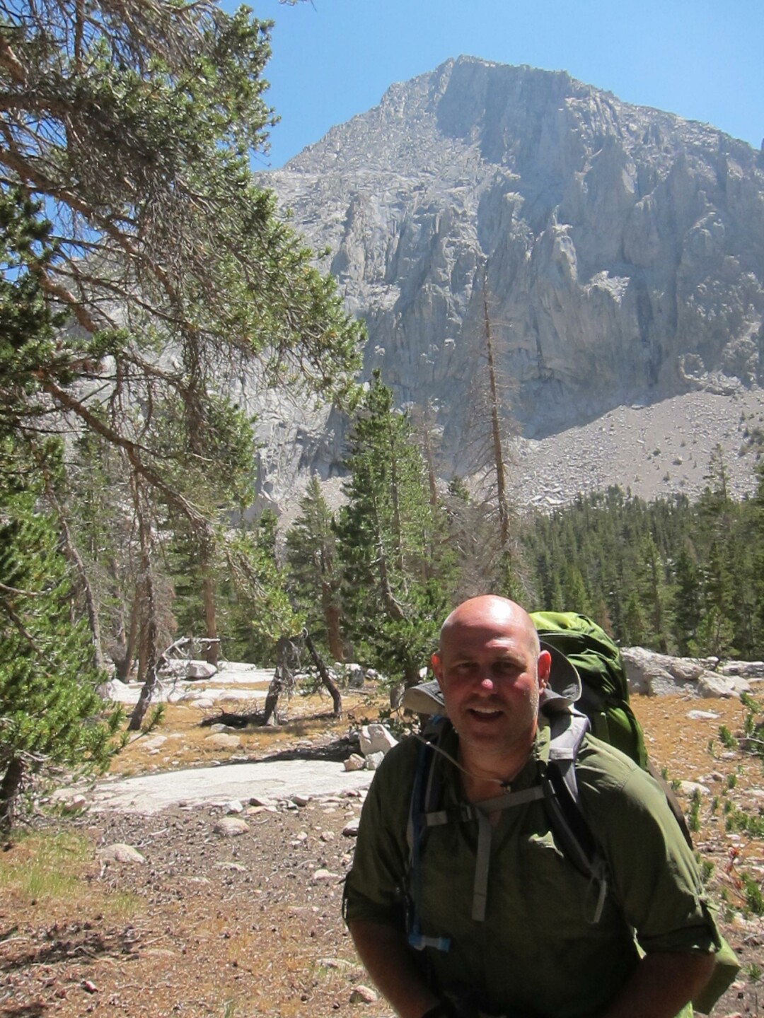
After some research, Dennis suggested that we begin our hike into the JMT via the Sawmill Pass. Of the passes from the Owens Valley, it’s probably the least used. It starts very low at around 4000 feet, has no water, and requires a climb of about 6000 feet to get to Sawmill Lake. When we went to pick up our permits at the Ranger Station in Lone Pine, the Ranger remarked on how we were brave or stupid or something like that. Because it’s hot and dry, you have to load up on water and hit the trail early. We got a shuttle in with arrival at trailhead at 6 a.m. As you can see, the terrain is dry Owens Valley arroyo.
I searched everywhere for information on how best to get on the Sawmill trail – there seemed to be two main entrances either side of the Sawmill Creek canyon and neither one is really marked or maintained much. As the trail isn’t used a lot, the detailed map was out of stock, what I pulled off the internet was vague, and the hand drawn sheet from the ranger station was out of scale and didn’t show terrain. On the ground, there were many confusing and criss crossing animal paths traversing the faces either side of the valley. We went up and down and argued about the right way to go. If we crossed into the canyon too low, we might have had to do some technical climbing off trail. If we came in too high, we might have found ourselves atop cliffs needing to go down. Meanwhile in the desert, the sun was getting higher, it was getting hotter and hotter, and we were using up drinking water. We weren’t sure that there would be water until the lake at 10,000 feet and starting off with a disaster was a real possibility.
Luckily, after some frustrating missteps we ended up following Dennis’ suggestion that we head straight up towards Sawmill Point and then cross left as the faint path seemed to suggest.
When we finally crossed over, we could see that we were headed in the right direction. Looking back we could see the barren, hot desert floor out of which that we had finally climbed. Still we were only at about 6500 feet with 3500 more to go. Getting up and over really cheered us up because we knew that by the end of the day – come hell or high water – we’d be stopping at the lake. Maybe we’d be late, but we’d be there.

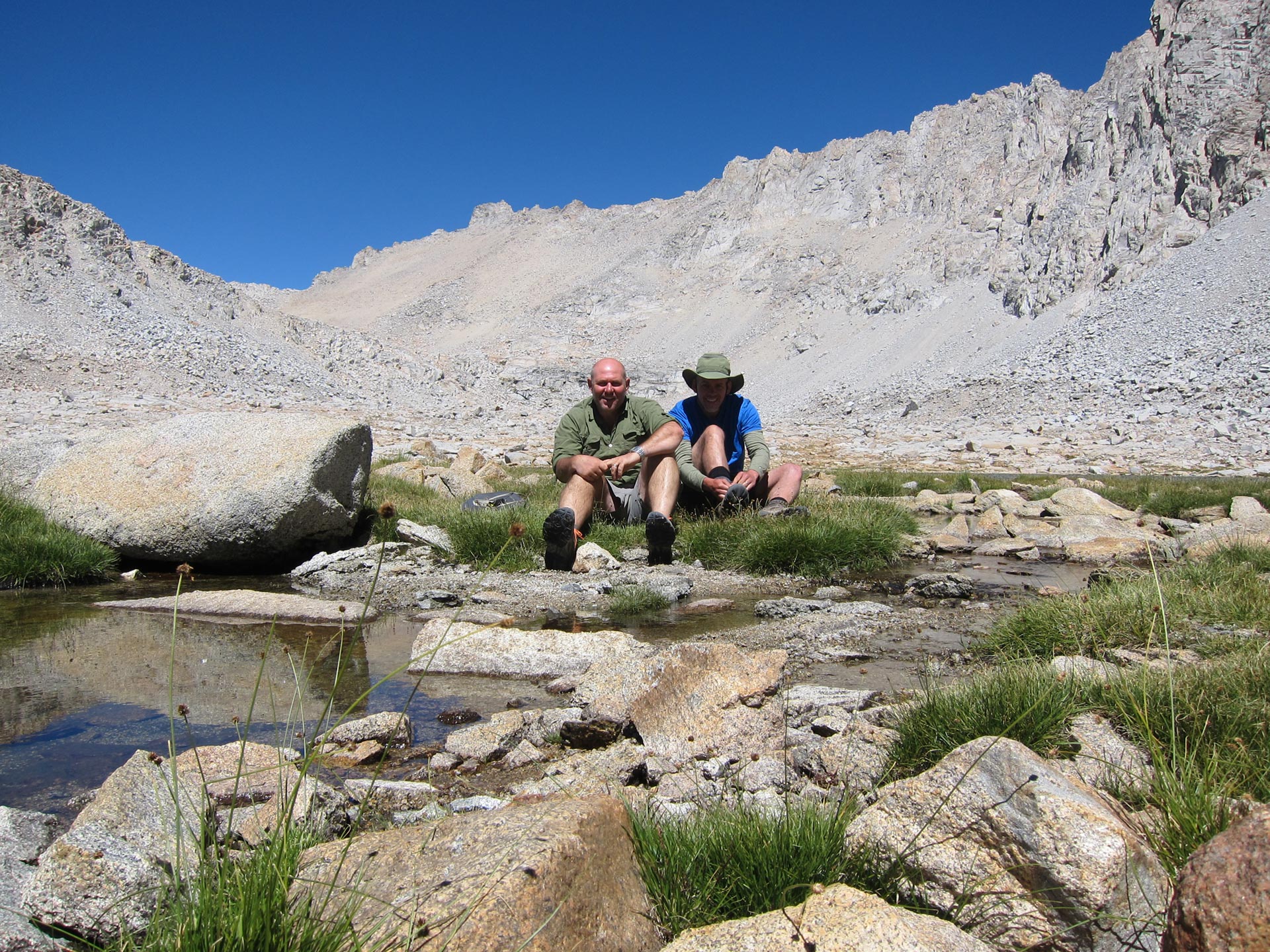
What we didn’t know, was where we would encounter water since reports I had read were iffy on how high up we’d need to go. Luckily it wasn’t too long after we crossed into the canyon that we’d found a stream. Ah sweet. We had a nice drink, snack, and regroup. Things were looking up.
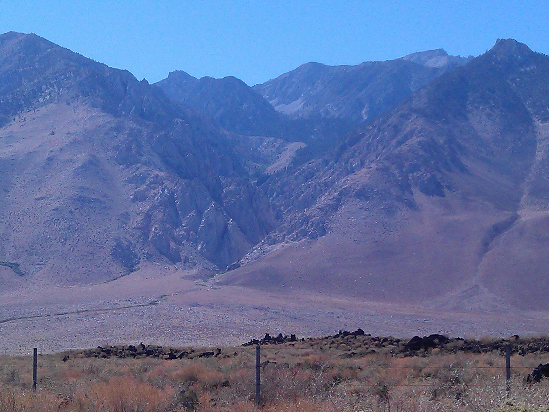
I took this photo of the Sawmill area a couple of months later from HWY 395, when my wife and I passed through on our 2,000 mile road trip through California.The path actually starts way off frame to the right up Division Creek road where we started. You cross over the face above the first hump, then go uphill towards Sawmill Point which is in the top right corner of the photo. About 2/3 of the way up you cross over into the Sawmill Creek canyon where the trail is clear and easy to follow to the lake. You can see why we didn’t want to cross into the canyon too low or too high.
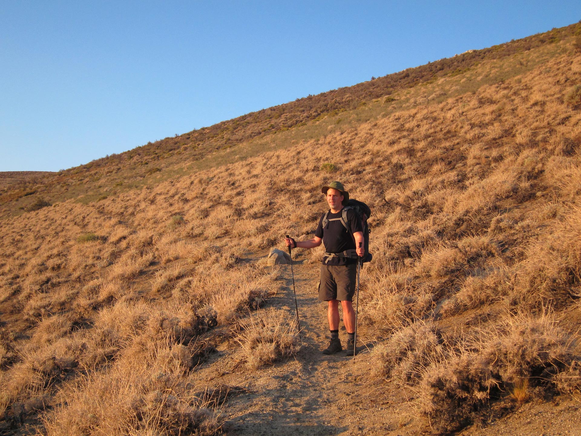
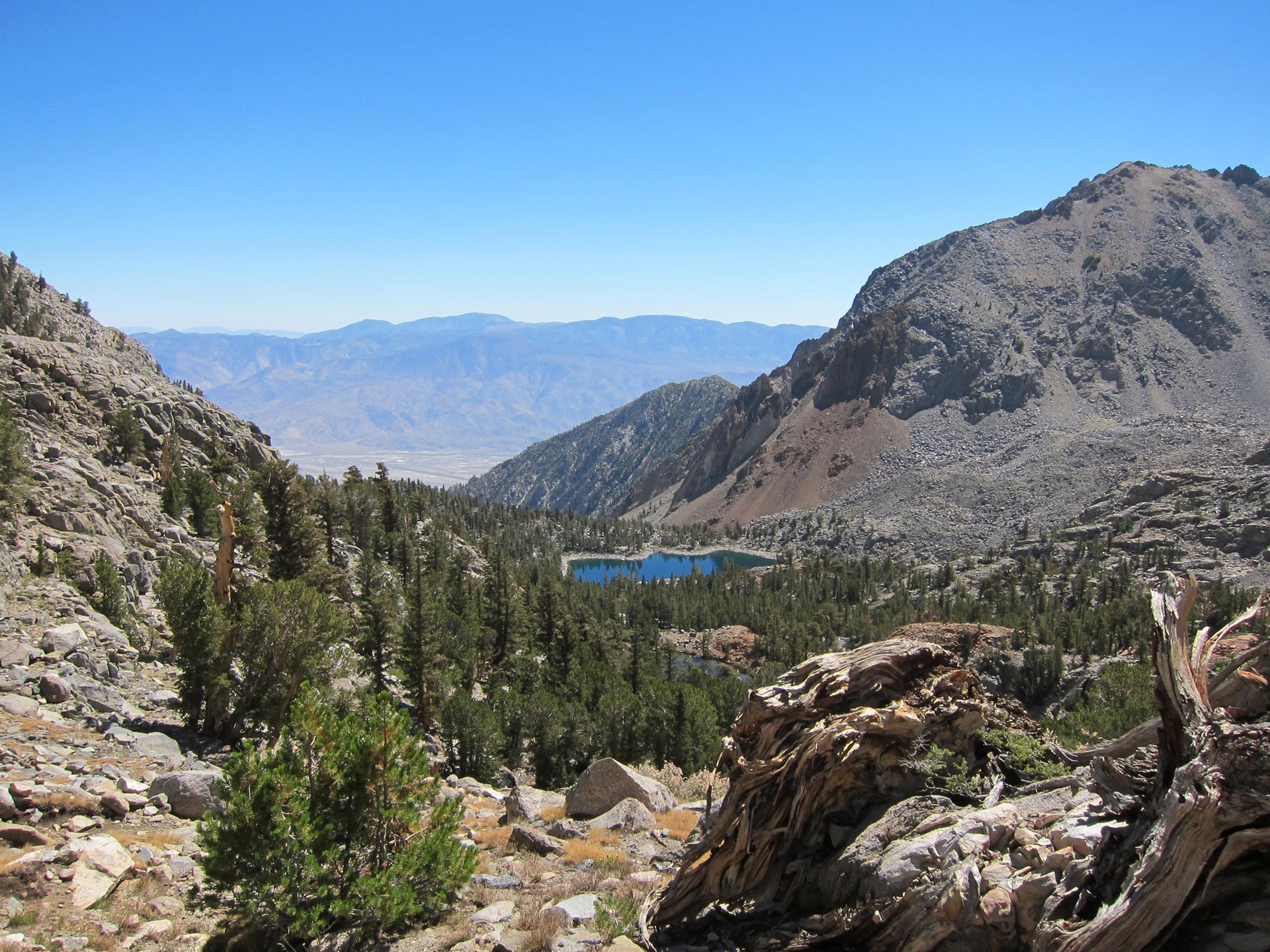
For the next couple of hours we skirted along the Hog’s Back. It was a pretty unrewarding slog in a narrow, dark and steep valley. It sure was a pleasure to finally make it out to this meadow. Up behind me, you can see the gap above where Sawmill Lake collects.

Mule Lake is supposed to be a prominent landmark telling you that you’ve pretty much made it to Sawmill. It’s even marked on Google maps. By the state of this “lake”, you can see why we had concerns about water.
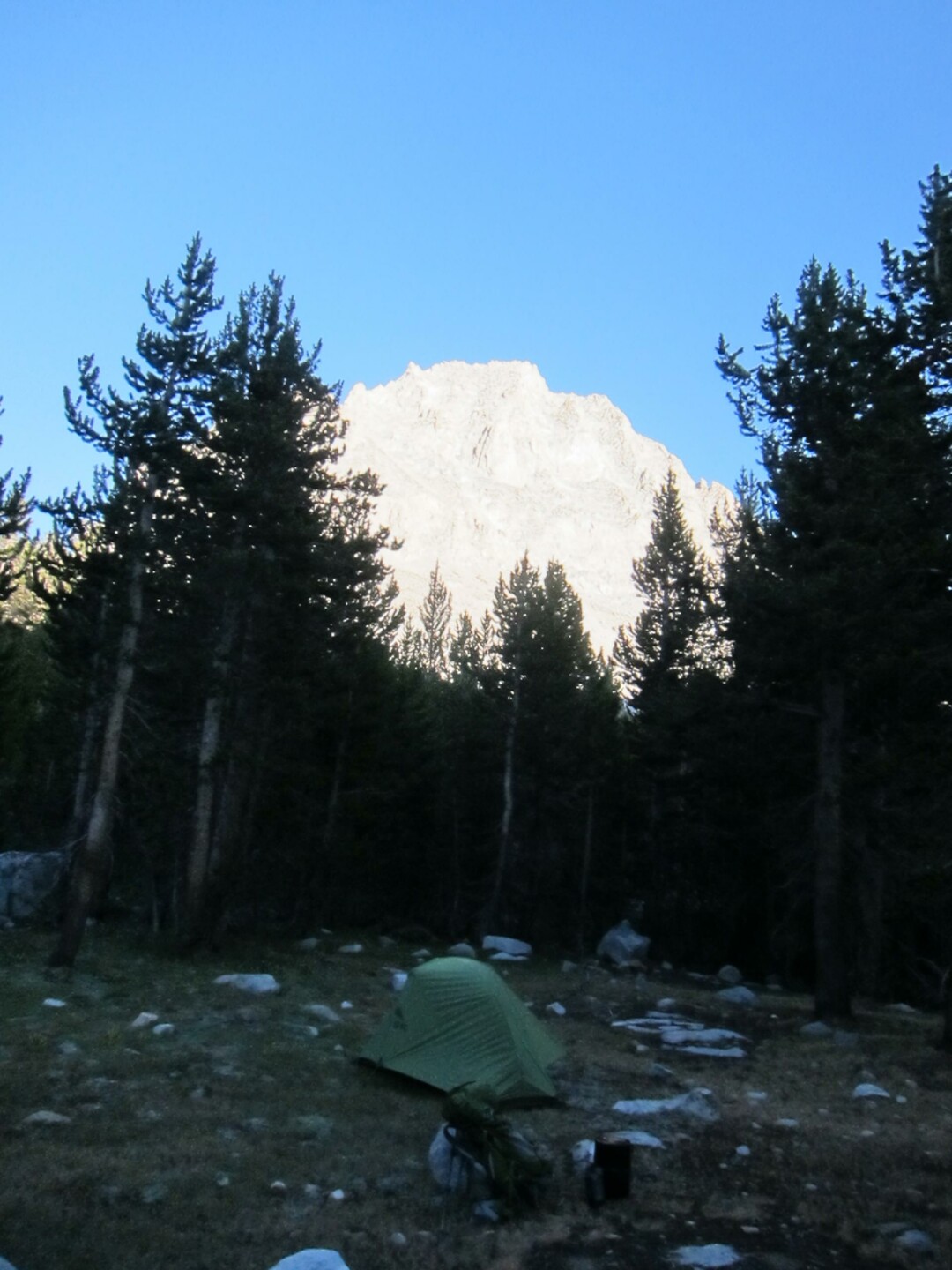
Finally after about 20 minutes we climbed up to the little bowl that holds Sawmill Lake. What a beautiful and welcome site. One reason for coming up the Sawmill pass is that it’s almost completely unused. Apart from one couple we came across in the morning nestled in a little cove, we had the whole place to ourselves. Trout were leaping, the sun was setting, and life was good.

Despite the fact that Sawmill is so beautiful and pretty much empty, I don’t think I’d enter the JMT this way again. It’s great to have the trail to yourself, and there’s a certain satisfaction in gaining all the elevation by foot rather than driving up to 9000 ft like at Onion Valley, but there’s just so much incredible country up higher in the mountains, that you don’t really want to spend your precious time walking along the valley floor and slogging up. Dennis says he’s do this again, because he liked the change in terrain from the Owens Valley up to this Alpine setting and because he liked earning the elevation.
DAY 2 – Sawmill Lake – Over Sawmill Pass – Woods Creek to Dollar Lake

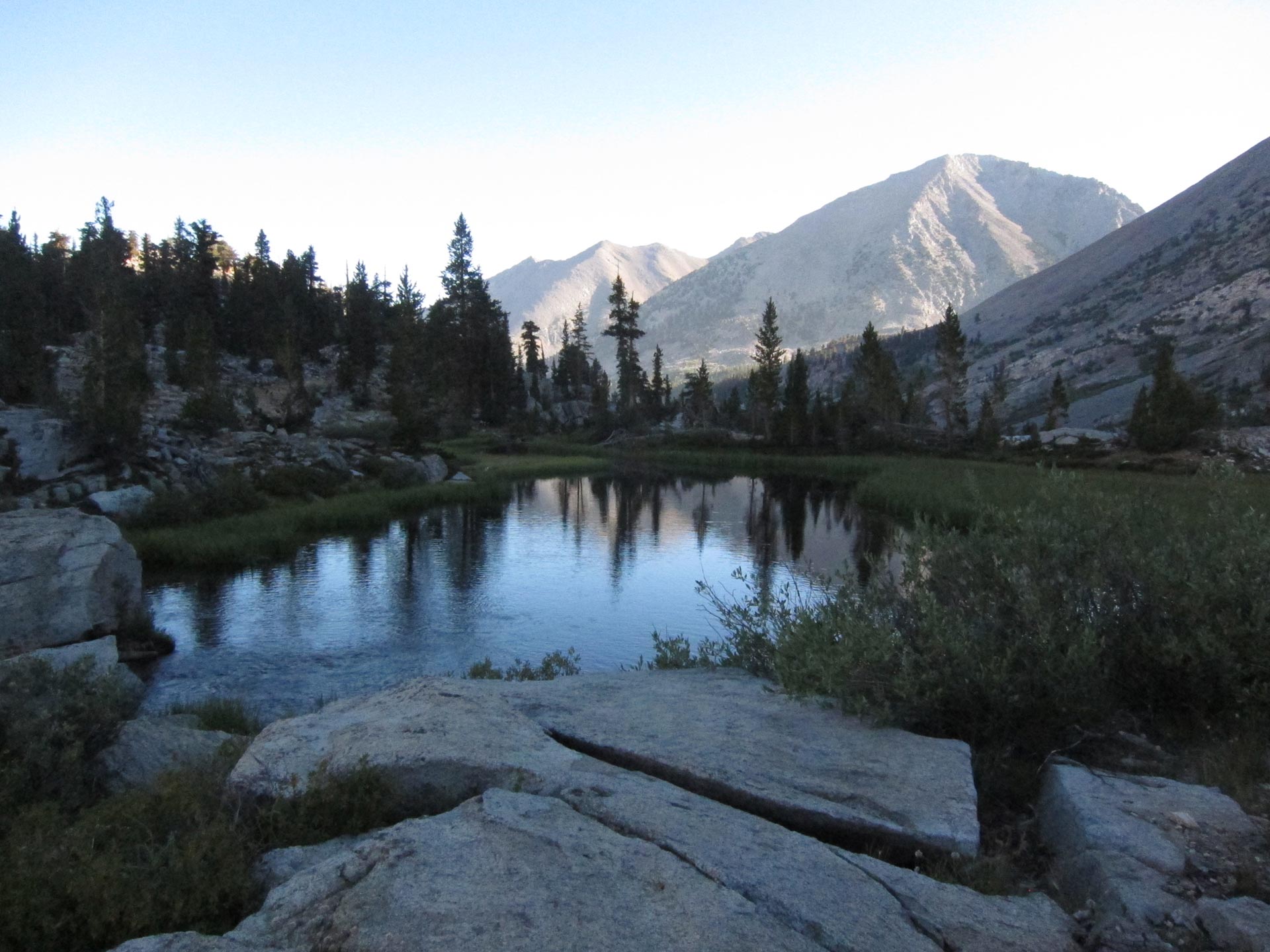
Waking up at Sawmill was a beautiful peaceful reset from the travails of yesterday. Dennis was taking it easy after yesterday’s start, so I had plenty of time to have breakfast and enjoy the scene from this rock on the shore. I wasn’t real happy with the late start, because we’d have to make up for it later but I made the most of it.
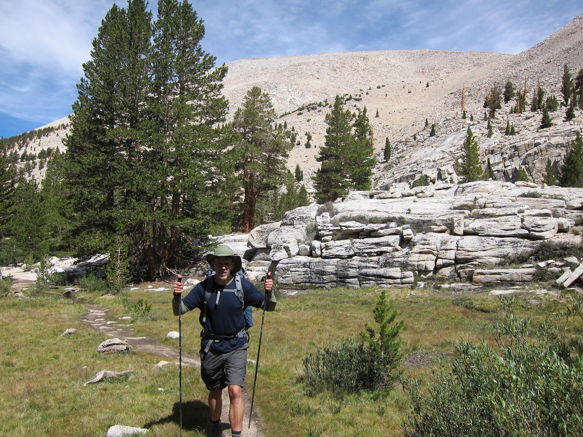
As we headed up towards the Sawmill pass, we wound through a beautiful landscape of granite and scattered pines. I felt great and happy to be on the way up and over and towards the JMT itself.
Winding up towards the pass, we kept getting beautiful views of the lake back behind us.
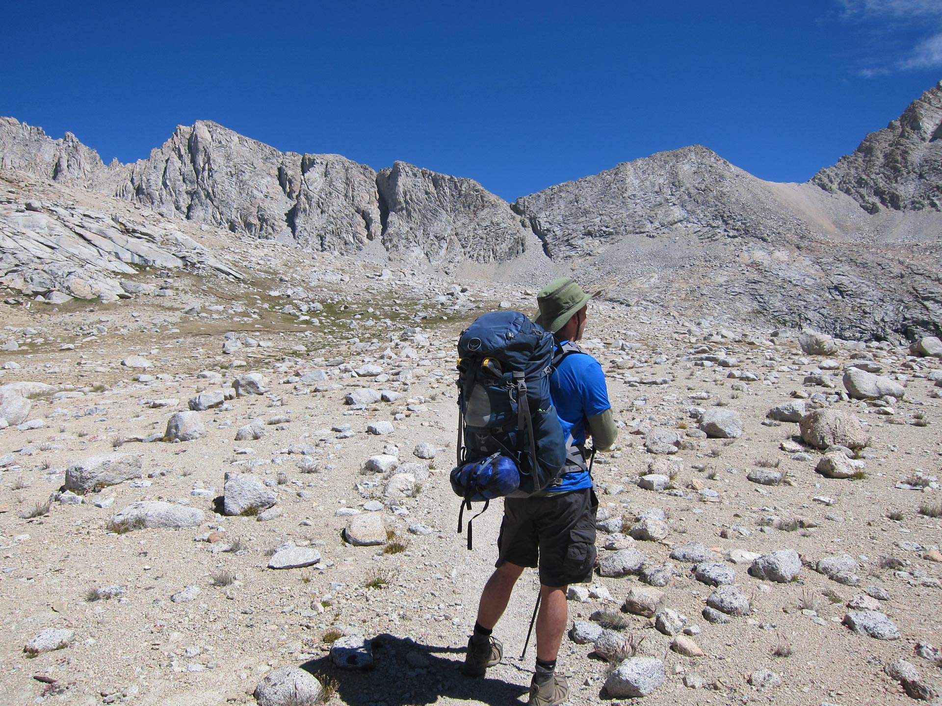
The pass at 11,300 feet is wide open and flat. From here you can see back towards the Owens Valley and into the Sierra.
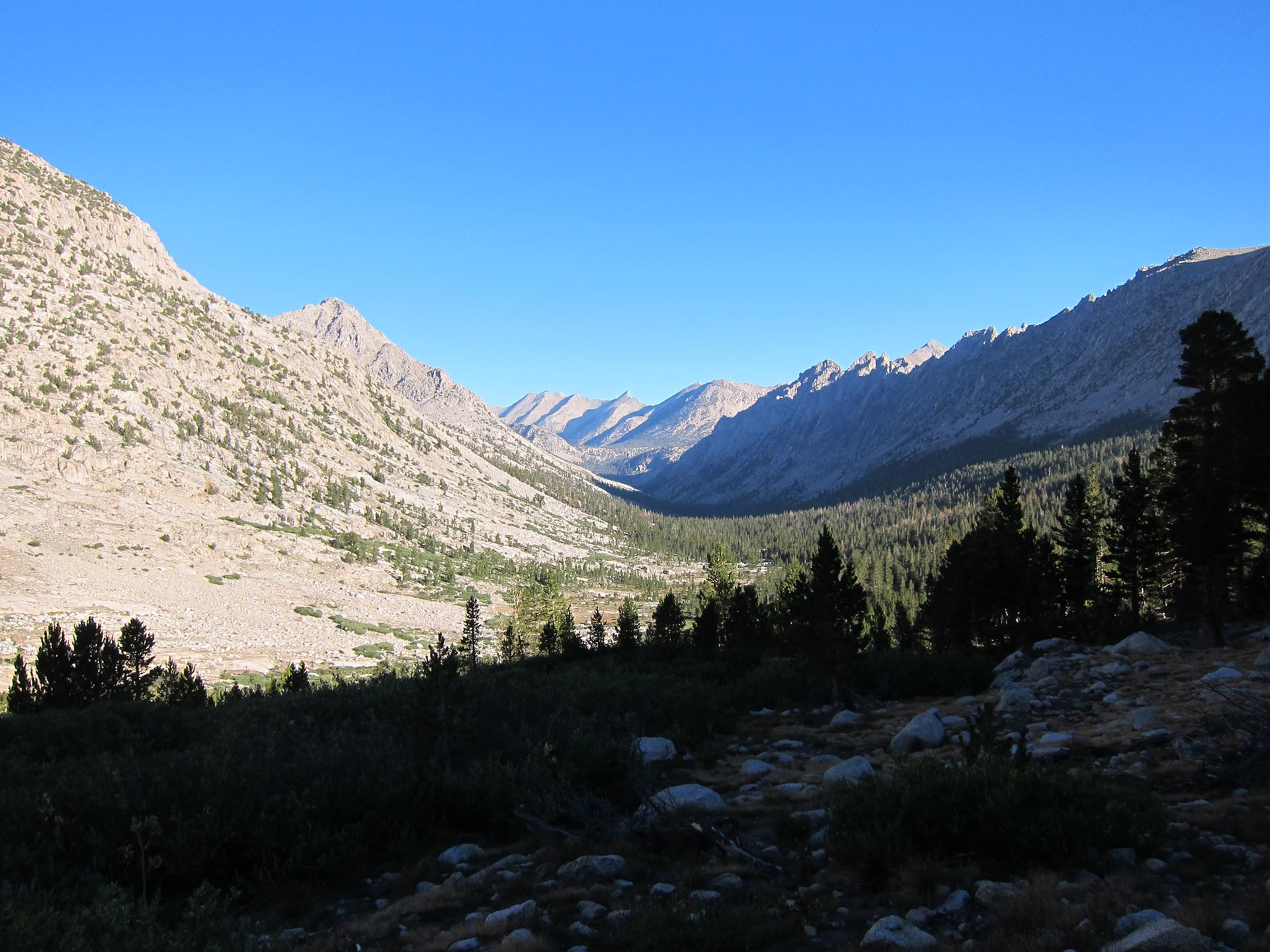
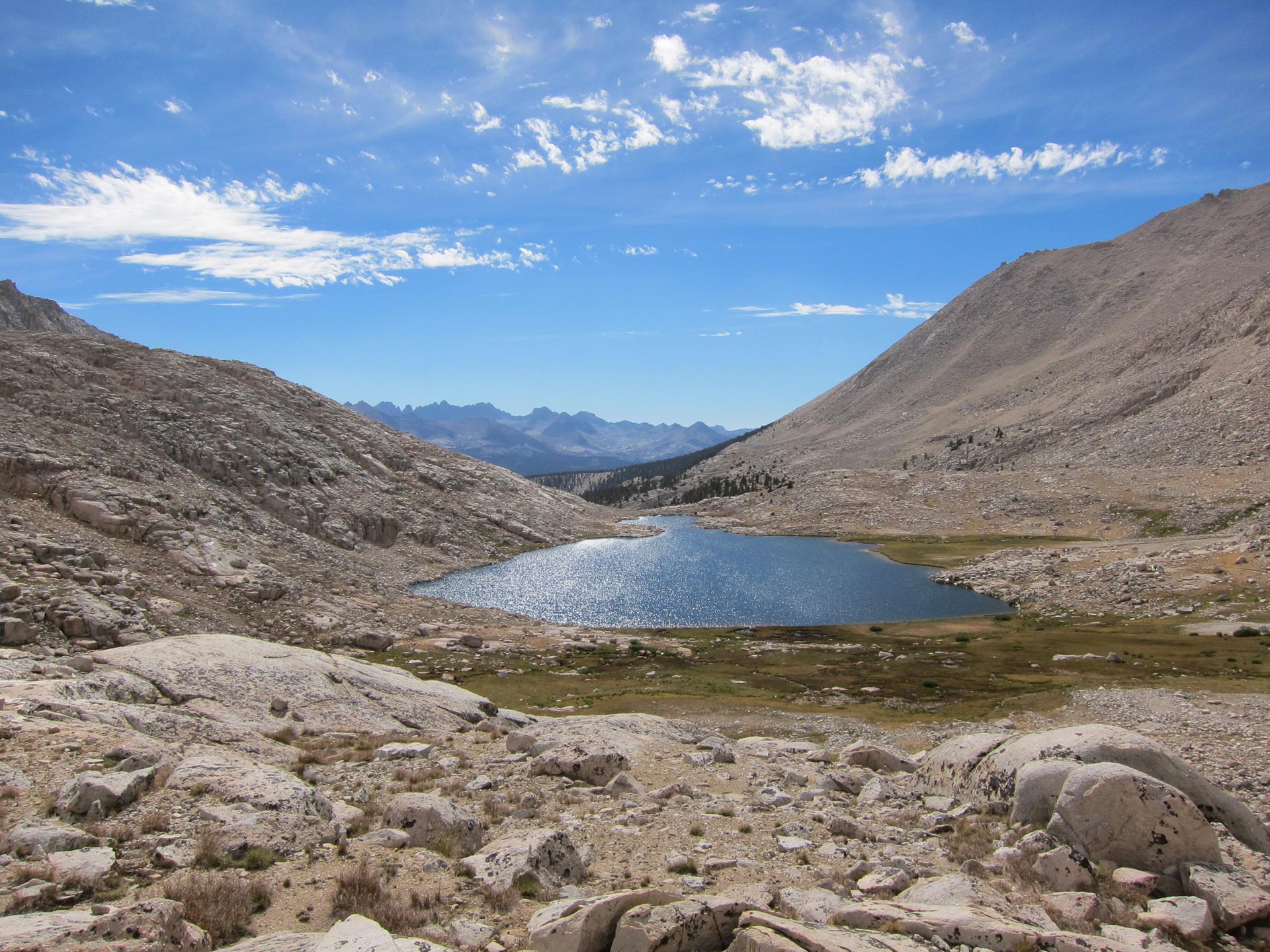
Over the pass, you head into a flat plateau above the Woods Lake basin. After so much steep uphill, a wide open plateau seems grandiose and a nice relief.

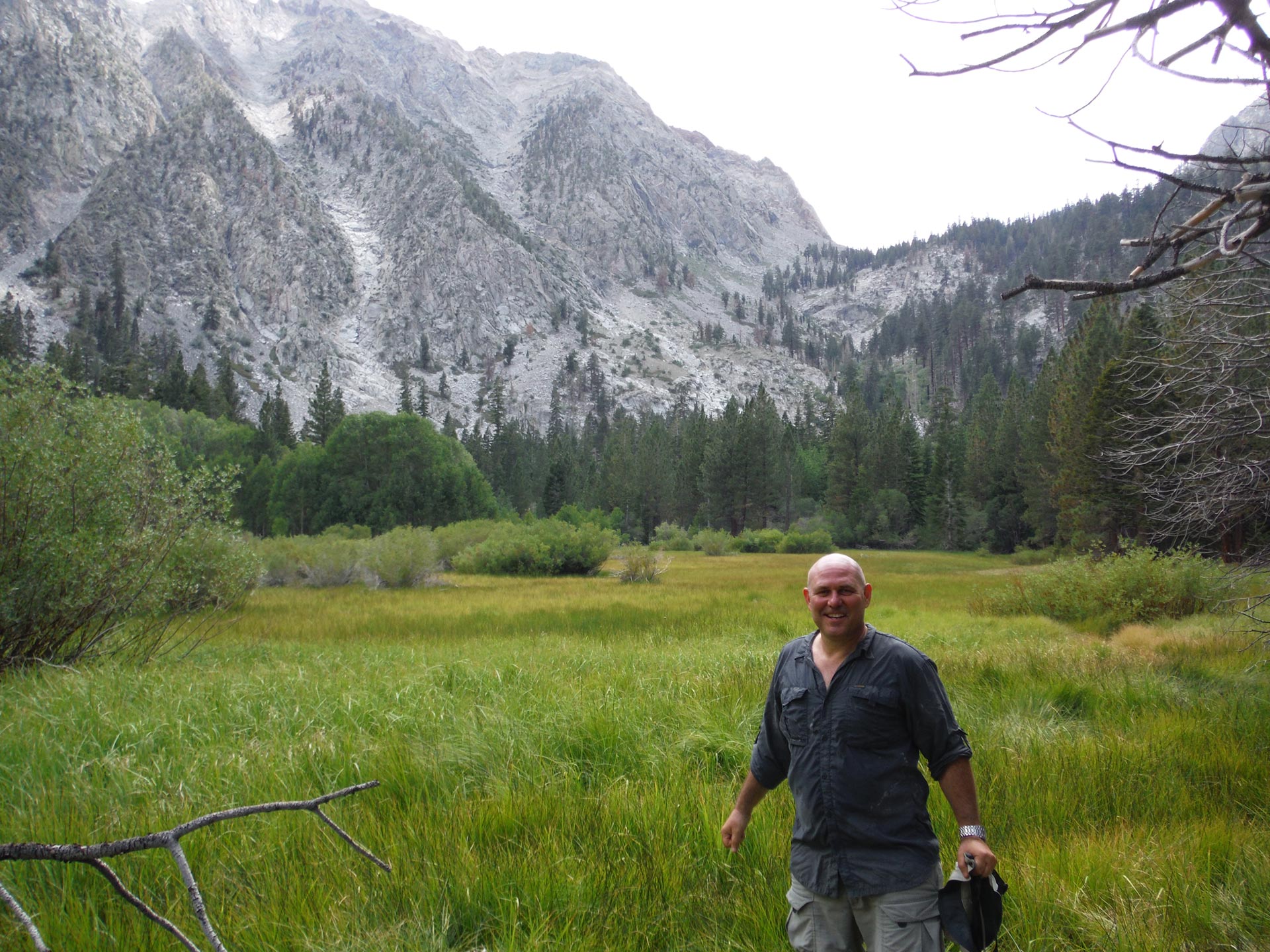
We descended into a grassy lake and marsh filled plane near Woods Lake. As we meandered through marsh the trail became less and less obvious. It left us scratching our heads more than a few times. We had to more or less shoot towards what looked like the right direction skirting the south side of Mount Cedric Wright.

After a surprisingly long time, we finally came out onto the JMT proper, heading down Woods Creek. This south facing descent was hot and dusty and it had taken us a long time to get here. We headed down stream and had a quick lunch next to waterfalls.
This was one of my least favorite parts of the whole stretch of JMT that we did, as it was hot and dusty, the scenery was not so spectacular as other spots, and we seemed to be traipsing through lots of mule shit.
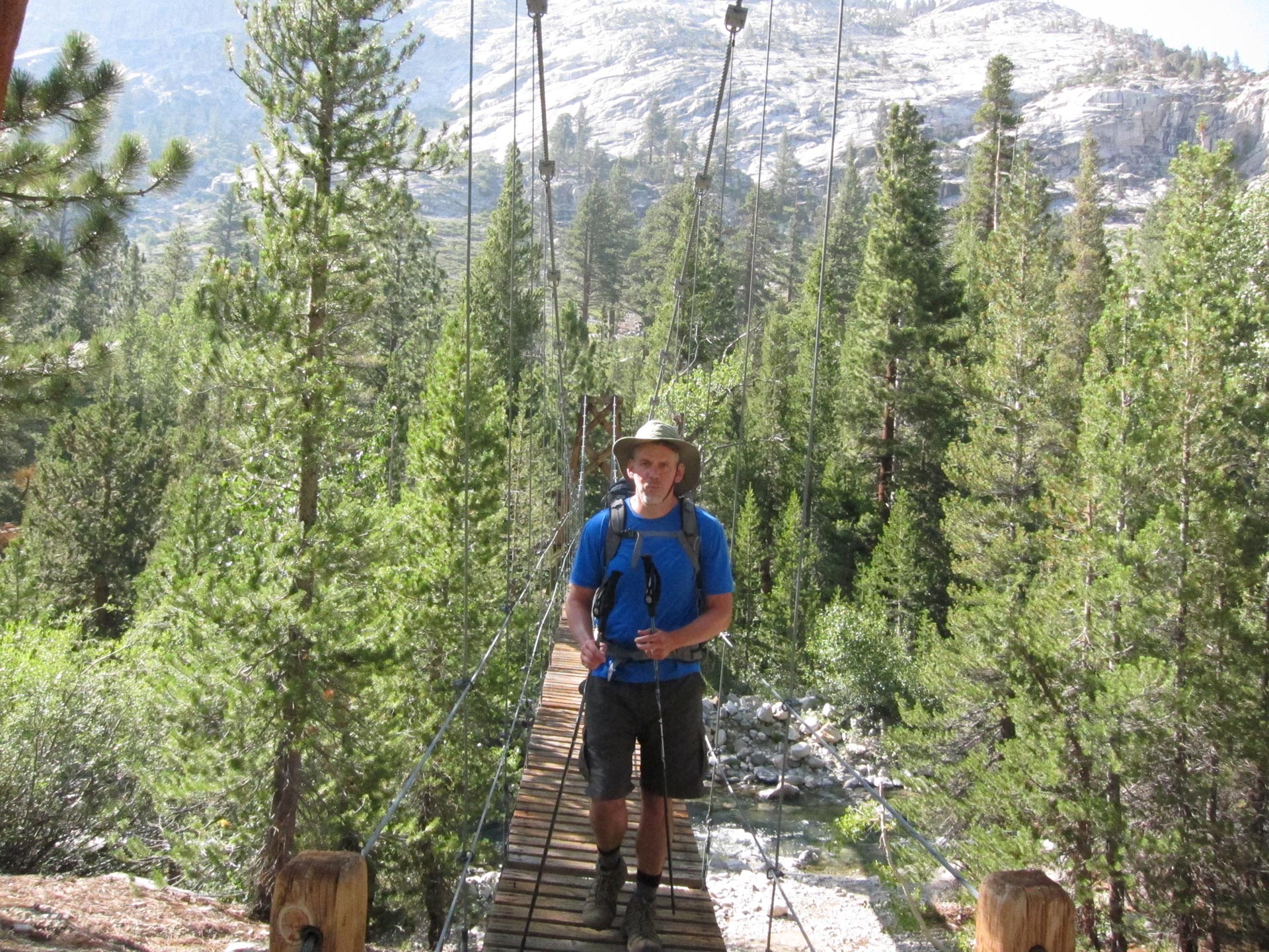
As we pushed on downstream, we came to the well known bridge at Woods Creek. This cool, maybe 50 yard long suspension bridge was fun to cross. But, as the day was getting late, I urged us forward. I wanted to make it to Dollar Lake. Since we were still not quite battle hardened or familiar with the territory, getting there before losing the light seemed rushed and hectic. The terrain rolls with lots of ups and downs as you gain elevation to the Rae Lakes area.
We pushed to Dollar Lake and made it just before the end of day. I was glad that we made it here because I wanted to be at least at the Rae Lakes basin before heading up Glen Pass tomorrow. The last push really drove home how we needed to keep moving if we wanted to set ourselves up for Whitney.
Dennis had a shitty time in camp because his bug cream opened up in his pack and got everything dirty. He spent the first 45 minutes or so cleaning up and then prepared for dinner. I washed up a little, did some laundry and got ready for tomorrow. It was a good start to the day, but it ended up being surprisingly long. I resolved to keep us moving and on target early.
DAY 3 – Dollar Lake – Rae Lakes – Glen Pass to Center Peak Area

We woke up at Dollar Lake and got ourselves on the road before others nearby. Maybe they were sticking around for the day. Our first big test of the trail was coming up – Glen Pass.

We had a beautiful day…all sunshine and blue skies. Dennis and I were feeling good and as we passed the shores of little lakes we were treated to what lots of people say are some of the most scenic parts of the JMT.

Fin Dome is a weird and well known formation.
The scenery of lakes, meadows and granite domes and peaks was incredible.

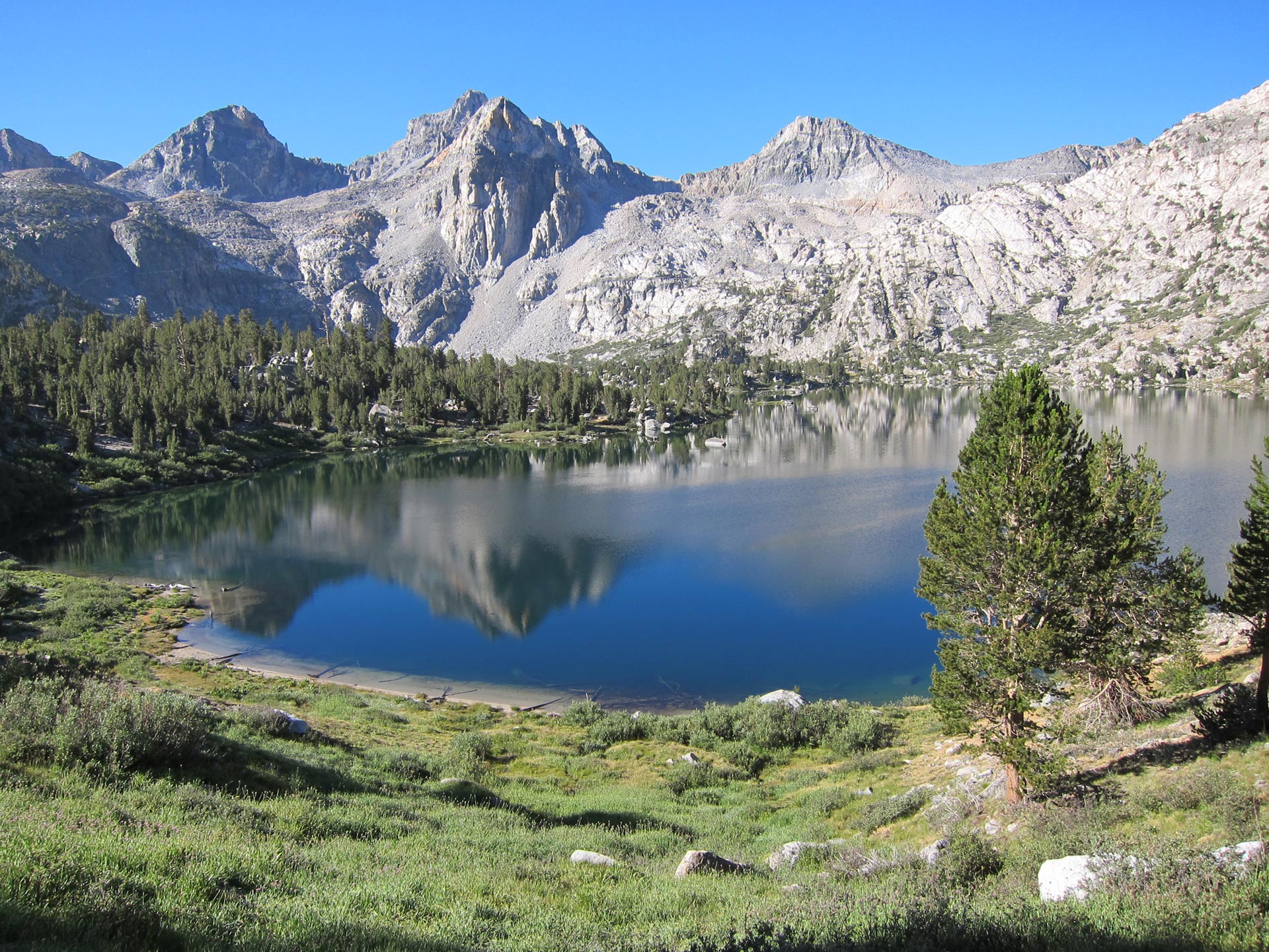
This is the famous Painted Lady on the shores of Rae Lake.
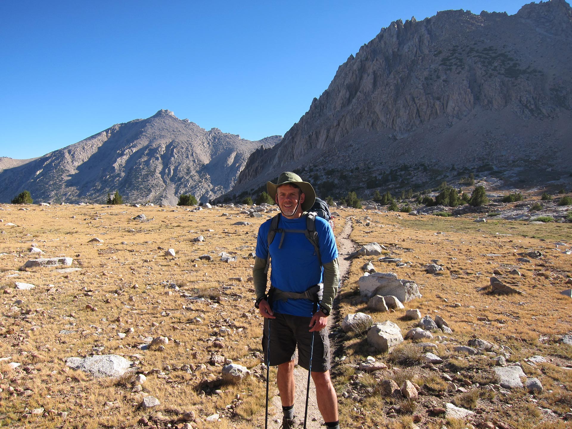
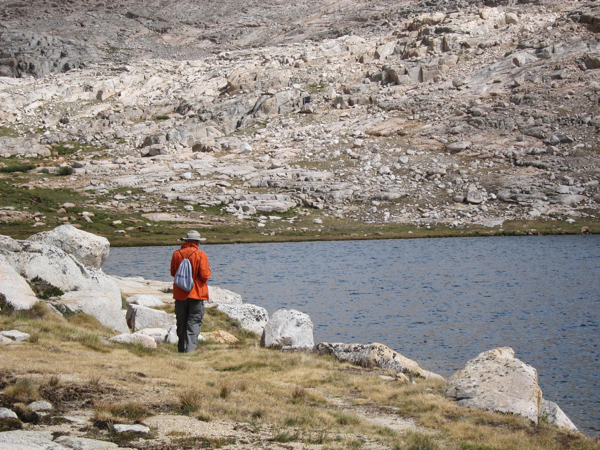
We felt great and ready to rock, stopping here to water up for the ascent. Dennis said he wanted to come back here with the kids and maybe do some fishing. I wished we could have stayed a little longer, but we had the pass and a fair bit of distance to cover today.
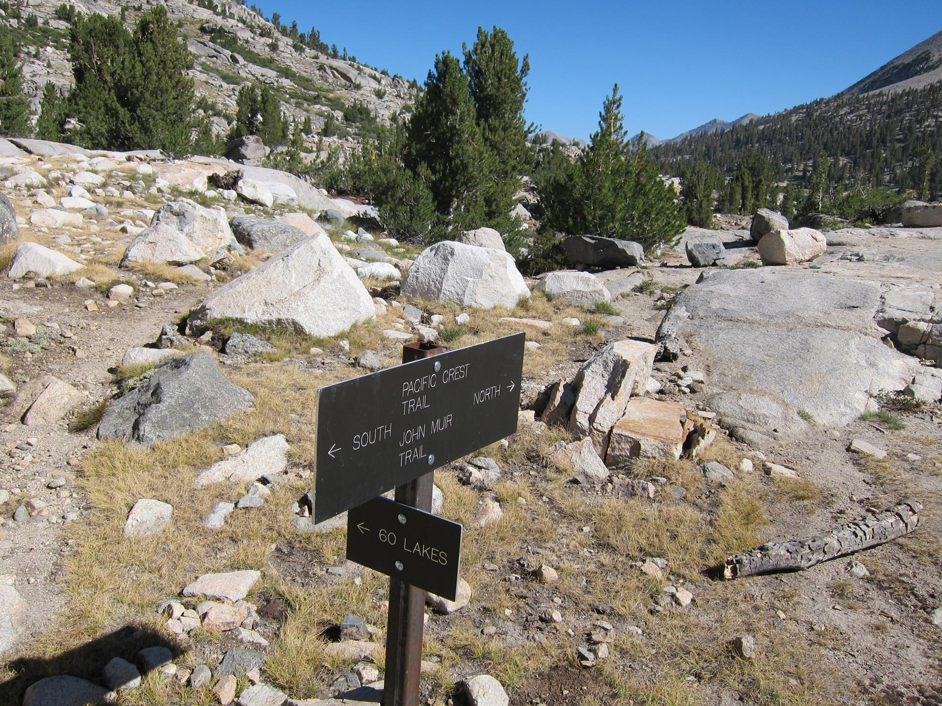
Dennis wanted to hang out a little bit at the lake and I was eager to get rolling, so I went ahead. As you round the lake, you head up the JMT and up Glen Pass. Unless of course you head towards 60 Lakes which is what Dennis did.
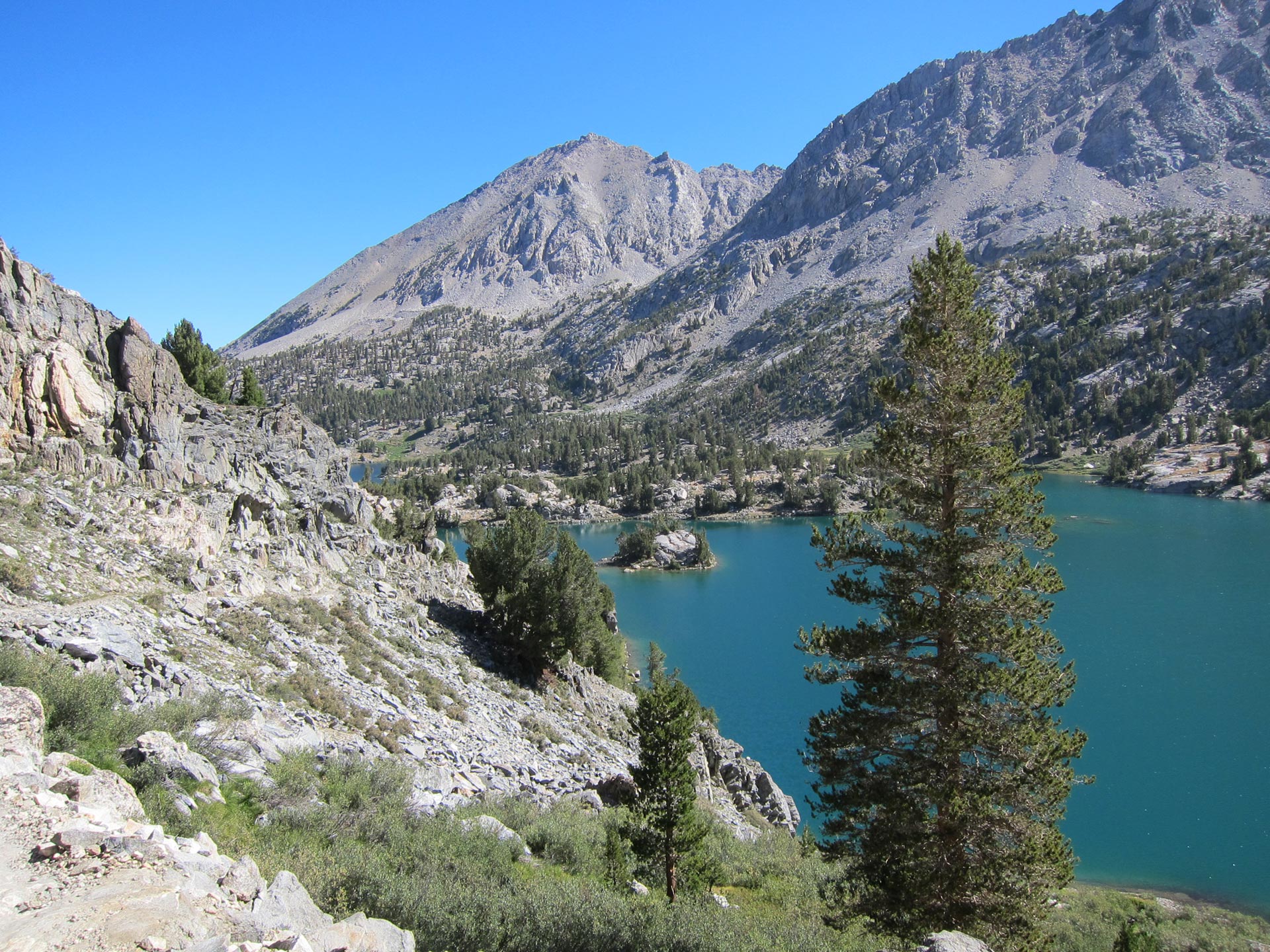
As you skirt the lake up towards the pass, you get some great scenery.
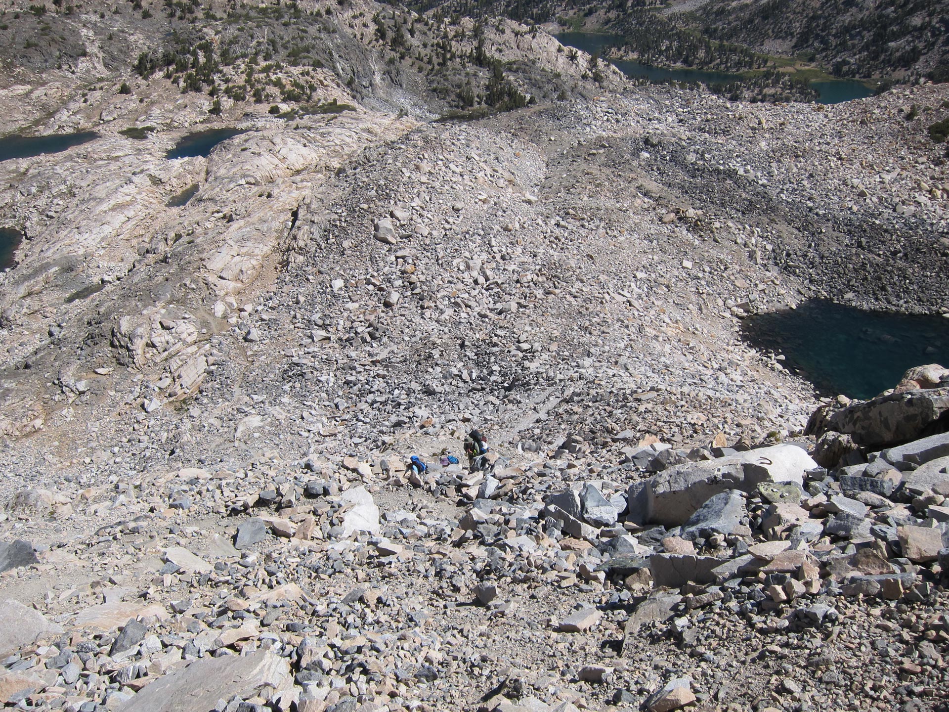
Climbing up Glen Pass is a slog through granite talus. Lots of switch backs and it’s hard to see exactly where the pass ahead is. It’s always challenging to do a trail you haven’t done before.

I felt great, cranking up the trail, chasing down a bunch of climbers and heading towards the top. The scenery behind was pretty cool.
You can see the very last flat traverse to the top. From here you can see down both sides.
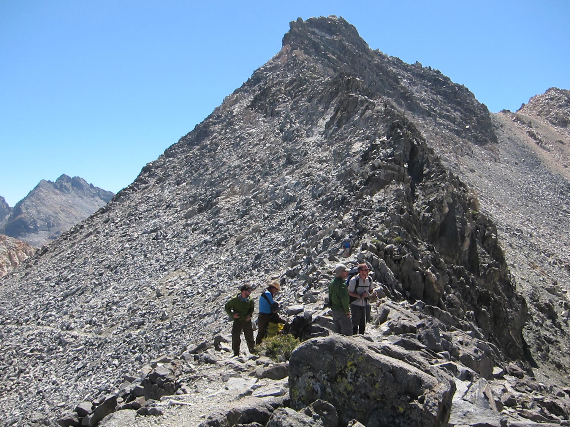
Ranger Dave walked up to meet some friends. He checked our permit while he was at it. I think a fair number of people boot leg it up there, because a couple of Rangers wanted to check our credentials.
I was glad that I didn’t feel any effects of altitude and that the pass was behind. I stopped and chatted with some fellow hikers and we traded off taking photos. When Dennis arrived, he was not in such chipper spirits. He took the wrong path towards 60 Lakes and then had to back track. He didn’t love the climb up the pass and when I saw him at the top, he was pissed off and tired and in no mood for triumph at the top of the windy pass. He just kept walking and went down the other side.
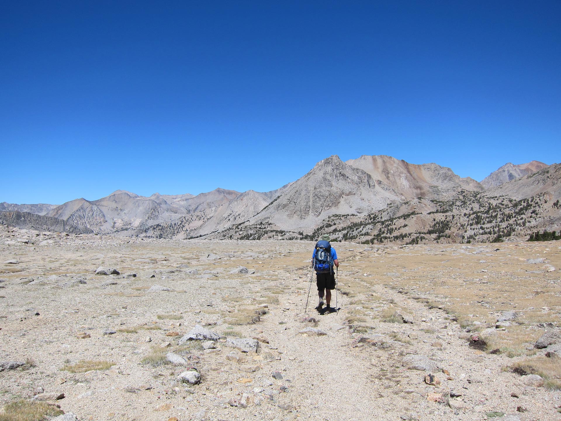
We still had a long day ahead of us. I wanted to make it to the Center Peak area so that we’d be just a short distance from 13,000 foot Forester Pass the next day. I saw Dennis resting on the downside. He was not a happy camper – annoyed that we were pushing hard and that he had walked the extra distance to 60 Lakes. We had a heart to heart and agreed to push on towards Center Peak.
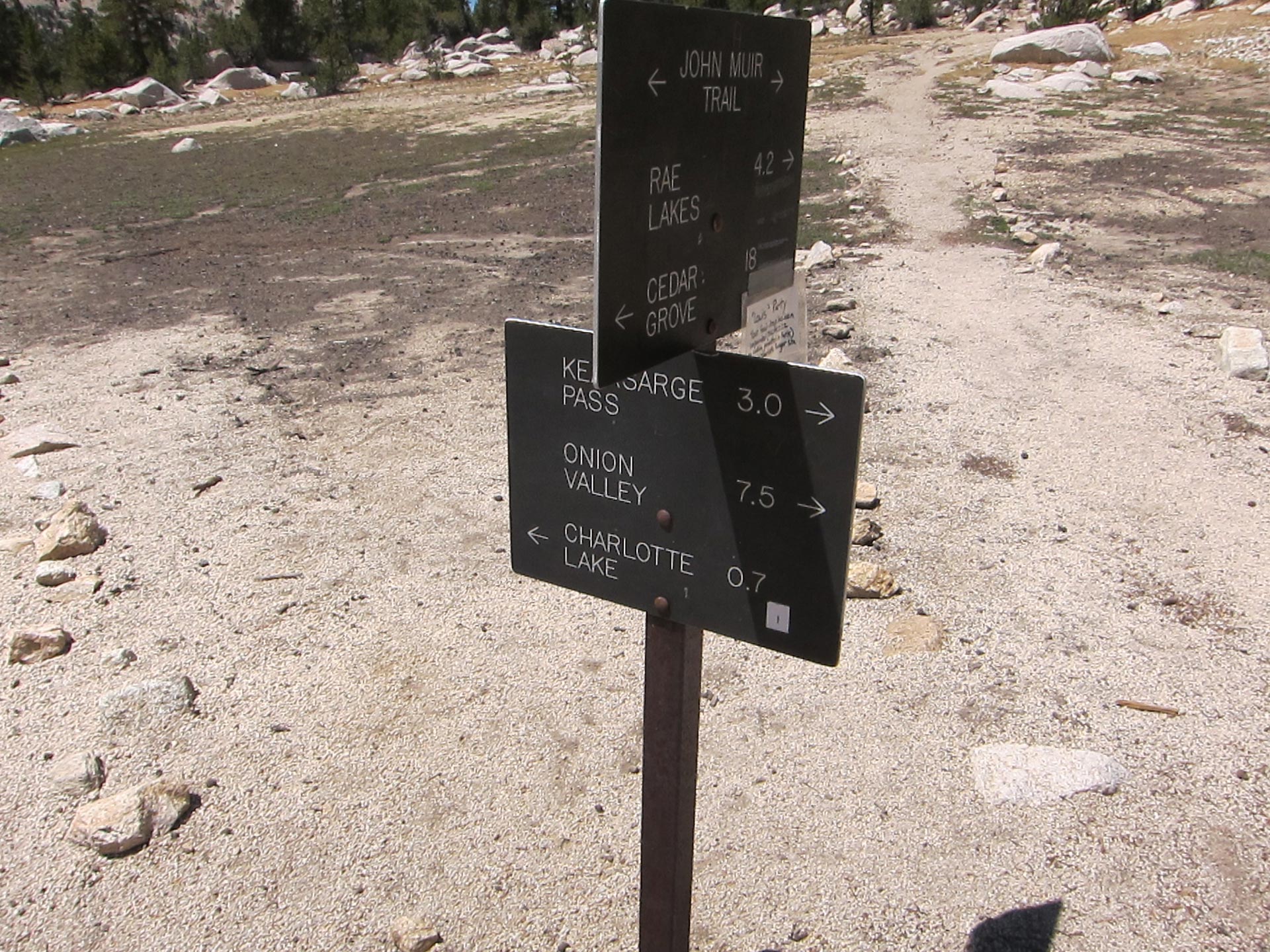
As we kept moving, we reached the cut-off of where the Onion Valley trails hits the JMT. Most people who come up from the Owens Valley and aren’t using Whitney Portal, come up this way. It seemed like an easy way to do it from our perspective, but probably one that makes the most sense if you don’t have much time or energy. The road up Onion Valley takes you up to about 9000 feet. We were feeling stronger and more confident and we joked that this seemed like a weak way to get up here.
We wanted to head into this valley of Bubb’s creek between East Vidette and Center Peak, and set up camp for the next day’s Forester Peak ascent.
D man was now in good spirits and ready to rock.
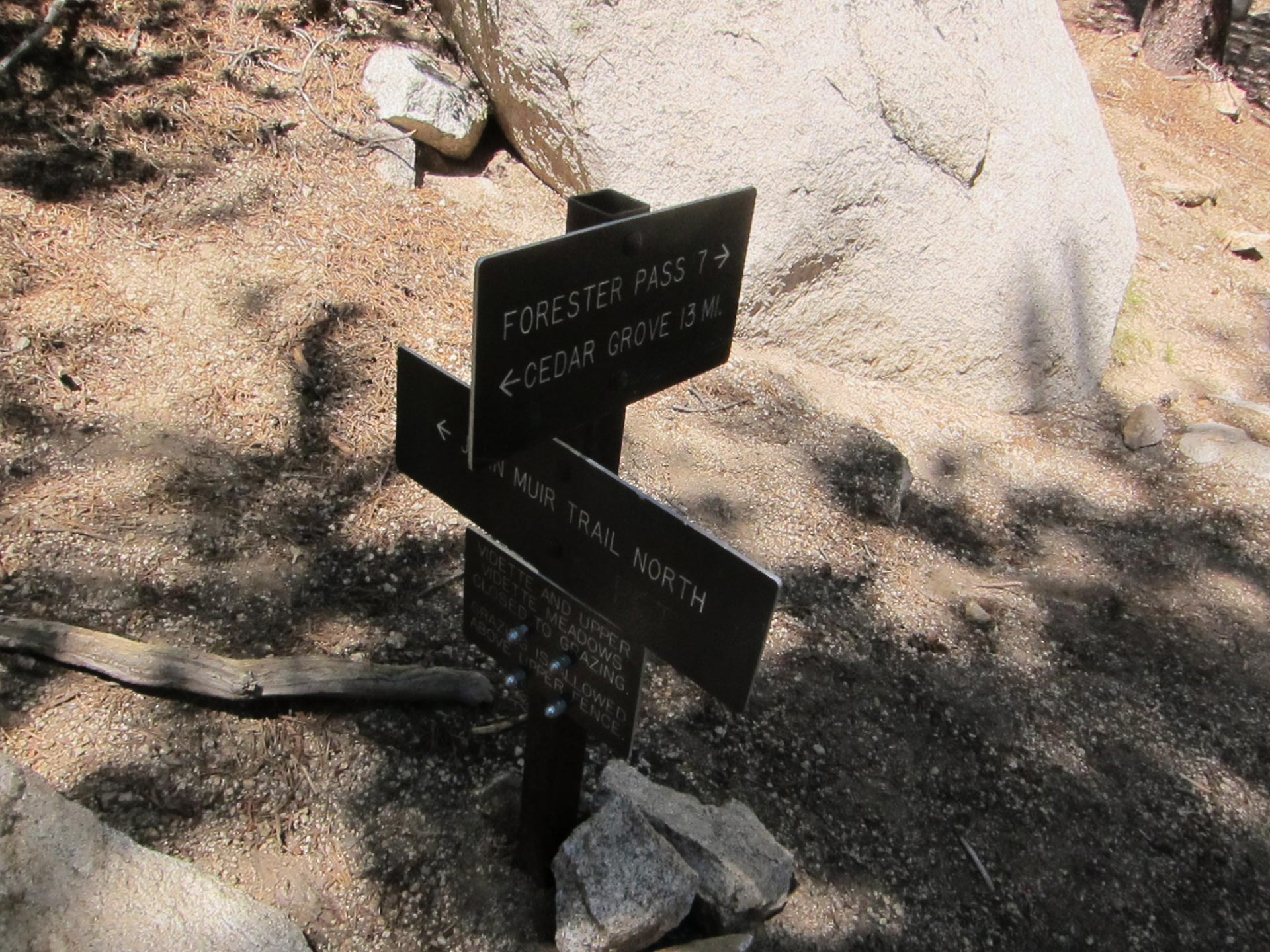
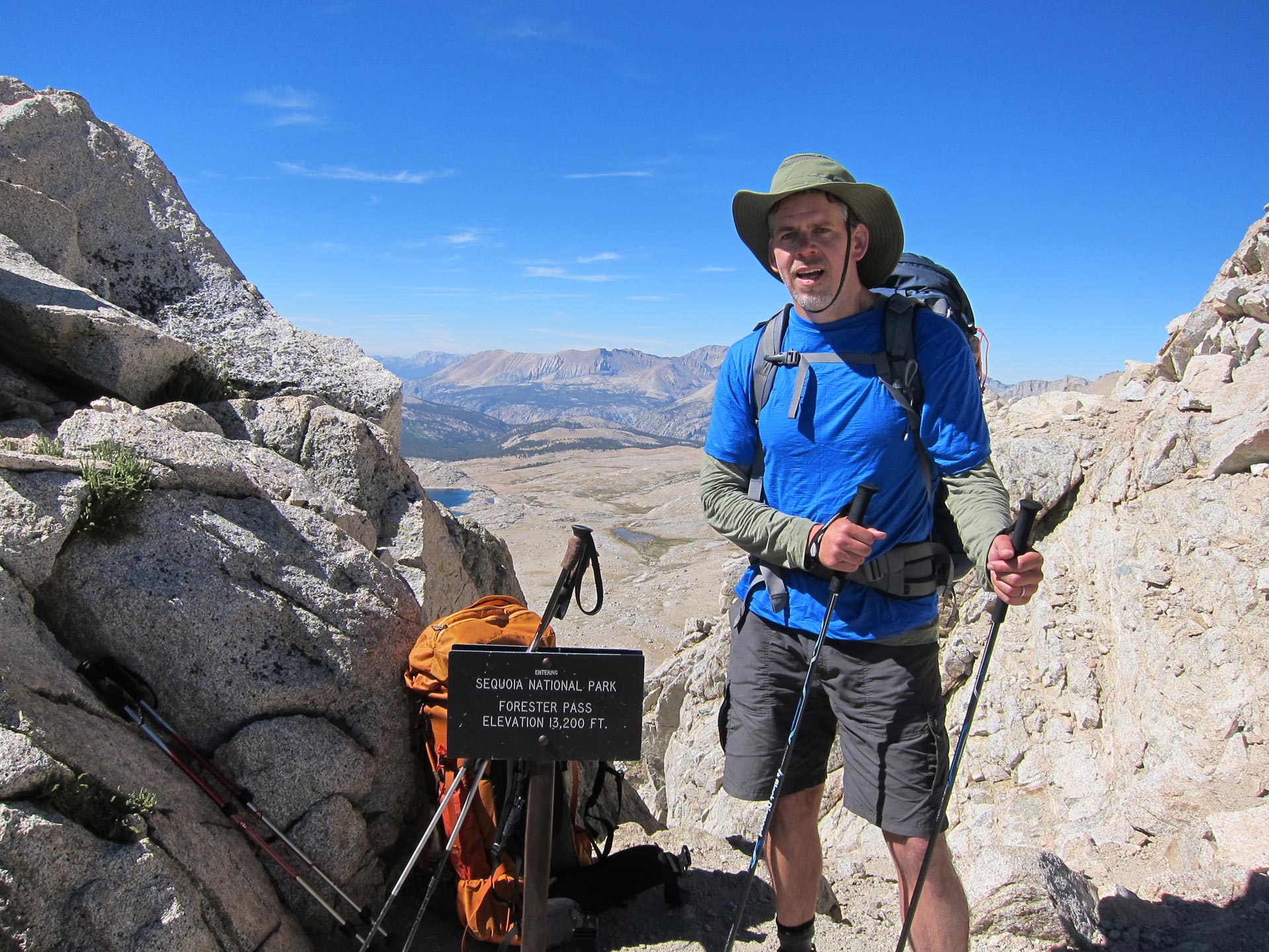
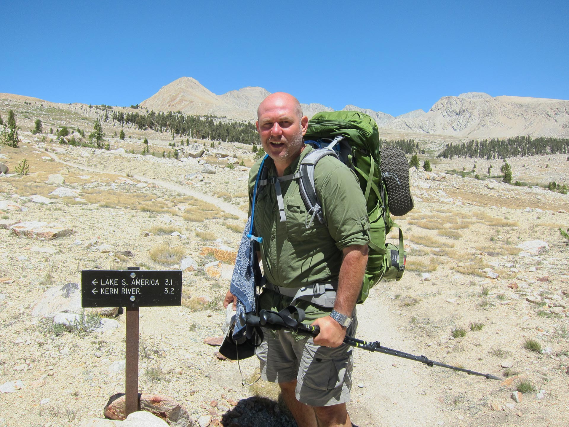
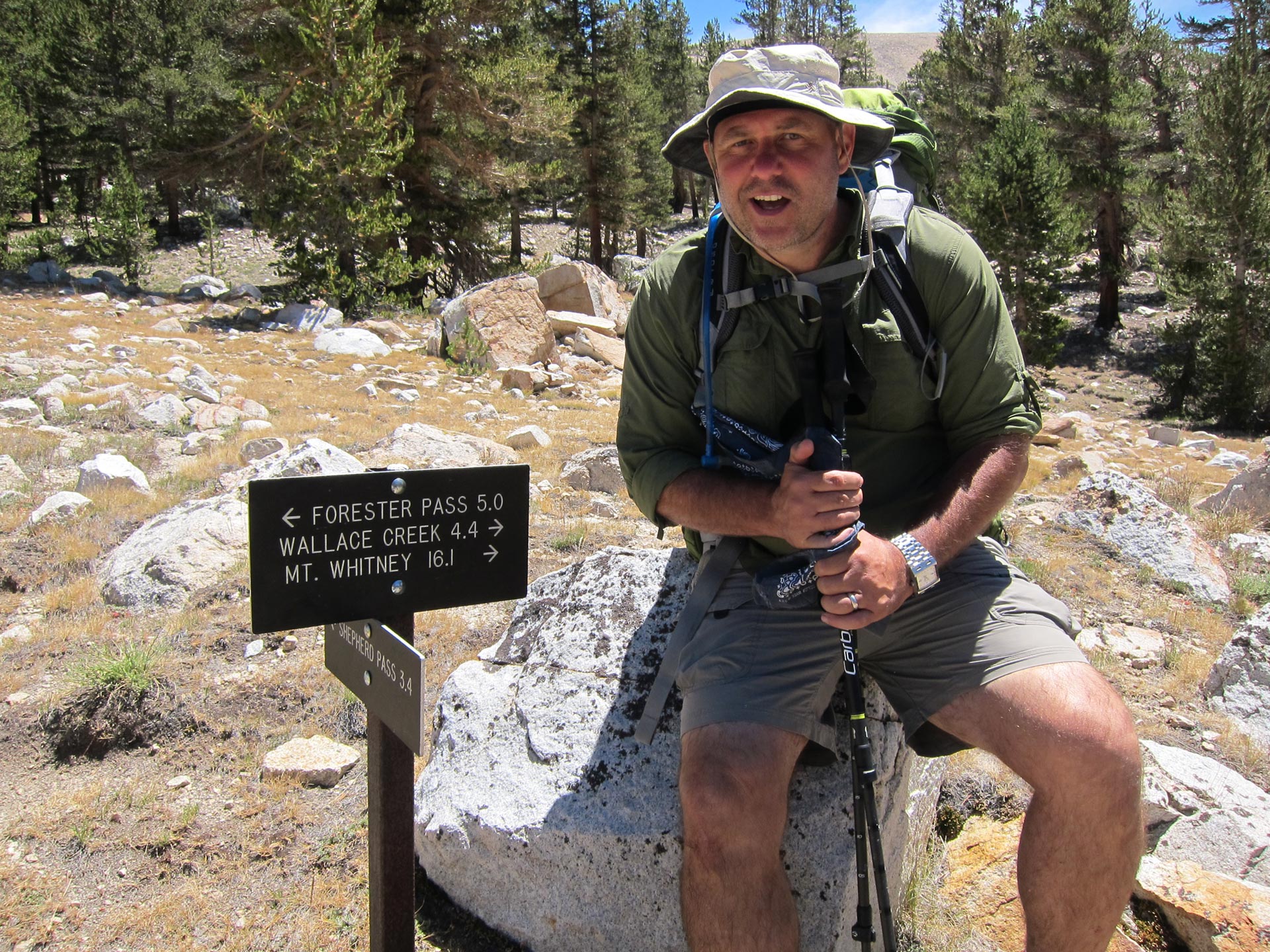
From here, we wanted to keep pushing because you don’t really want to do 7 miles BEFORE Forester Pass and also because to make Whitney in the allotted time, we needed to be up and over Forester and probably to Wallace Creek at the end of next day. So on we pushed.

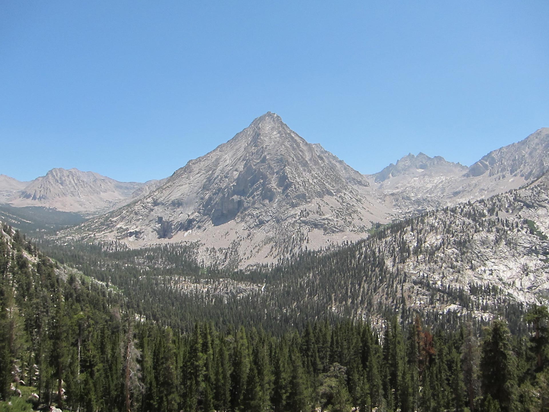
The scenery in here along Bubb’s Creek was massive and looming.
On a flat part of the trail near Bubbs Creek, nestled up under Center Peak is where we set up camp. It was a little cold since we were in a gully near water, but it was just a beautiful spot. Dennis camped a little closer to the water, almost on a kind of island across a small creek. That night he left his rain fly off and his mesh top open so he cold see the stars. As night fell, so did dampness. I think it was about 28 degrees. That was the last night of unzipped tents.
DAY 4 – Center Peaks Area – Over Forester Pass – Big Horn Plateau to Wallace Creek
In the morning, we got started early and hit the trail feeling good. We wound through some hilly forested trail on the way to the rocky approach to the pass.
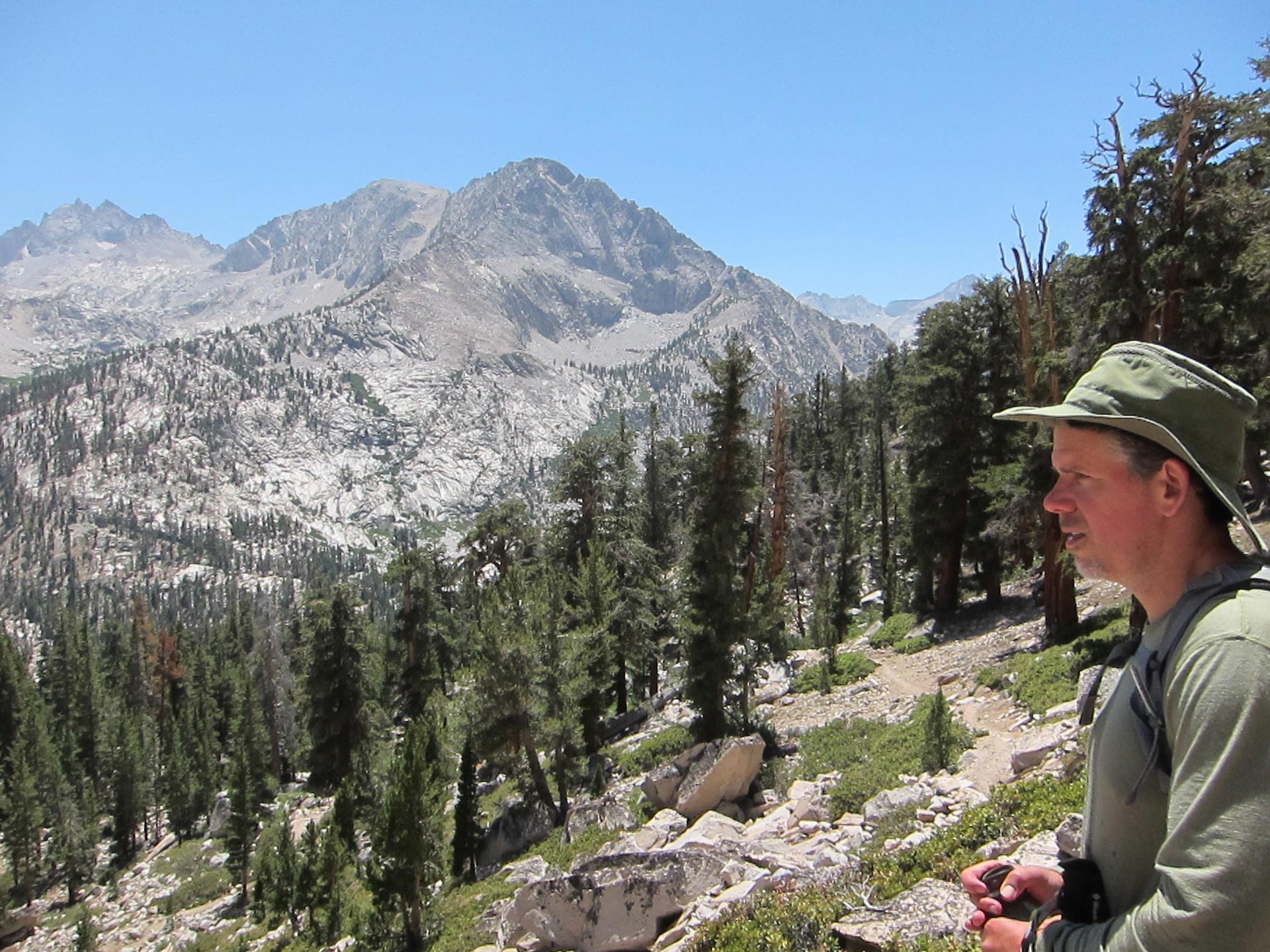
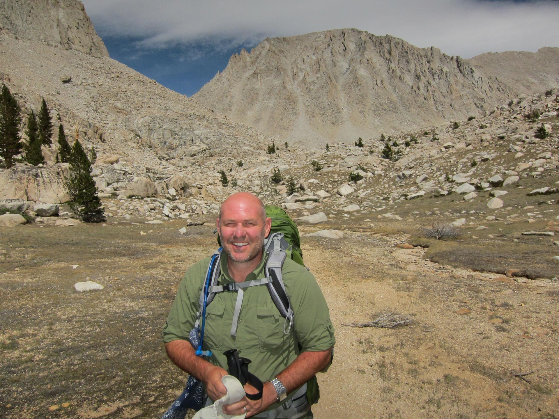
Dennis started the day strong and kept on rocking throughout the day.

As we approached the bench before Forester Pass, we wondered what trials awaited us.
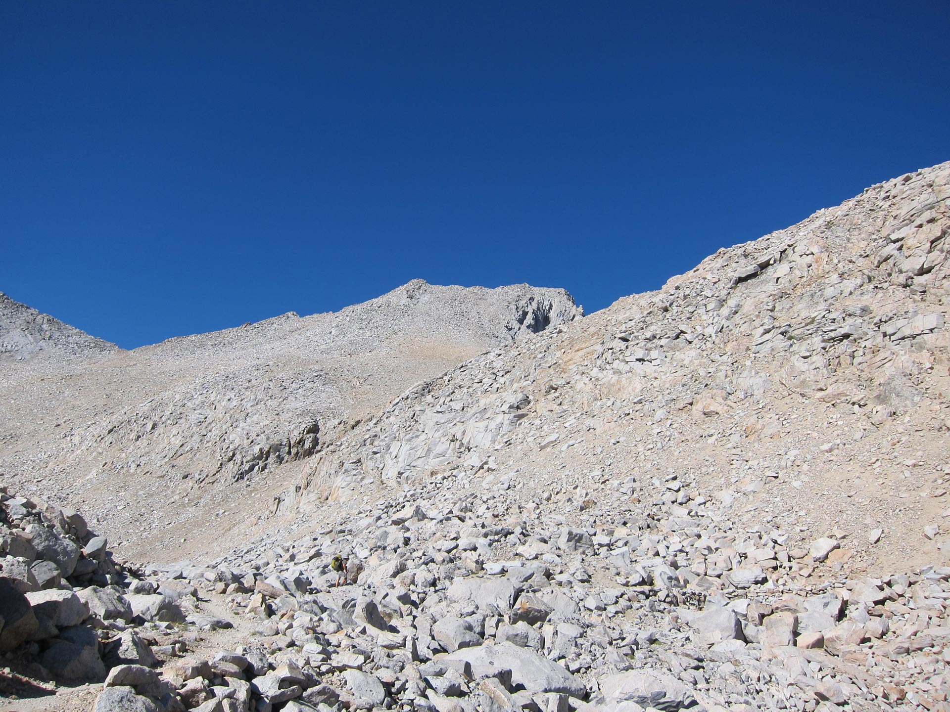
As you are winding up the pass, it’s a slog through granite switchbacks. It’s hard to tell where you go up and over, so it’s good to keep your mind focused and just keep making progress. We went up with a group of folks we had befriended on the way up. Bob and his crew featured a teenager I jokingly called the mountain goat. He practically sprinted up ahead of us. About a mile up the trail, he was shot and we passed him up. It was like the old joke about the Old Bull and the Young Bull. They’re at the top of the mountain looking down at a vast herd of beautiful cows. The Young Bull excitedly turns to the Old Bull, “Hey, let’s run down there and ‘mate’ with a cow”! The Old Bull turns to his young companion “How about if we just WALK down and mate with ALL of them?”

You can see a bit of the route the trail takes in the right side of the photo.

We kept pushing and pushing uphill. Here was a young dude who made it past me. I pretty much crushed it otherwise and felt very satisfied.
At the top, the view back is stark and amazing.

Here’s D man topping out. I was glad that he got to enjoy this victory a little more than Glen Pass. We spent some time up here, taking in the view, drinking water and having a snack. Amazingly D’s phone got a bar of reception and we were able to send a text message to our wives who were no doubt worried since they hadn’t heard from us for 3 days. My wife Denise, was 6 months pregnant and it must have been hard on her, but she was very supportive and never tried to talk me out of the trip.
Life is good. Dennis at 13,000 + feet. We had handled the pass without too many problems, and there had been no altitude issues. Dennis was taking Diamox, but I was just winging it. Now, I was pretty confident that 14,000 would be ok too.

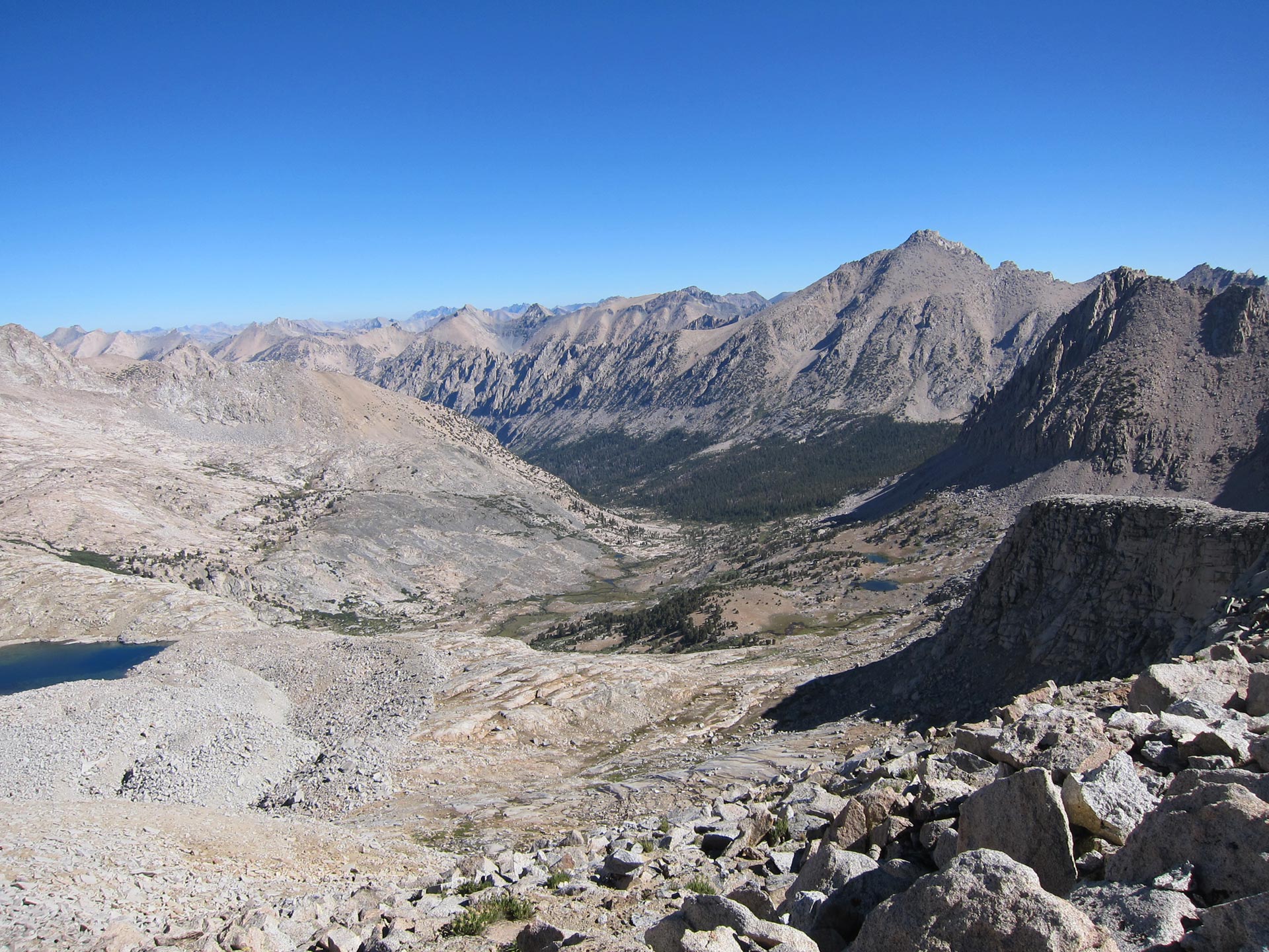
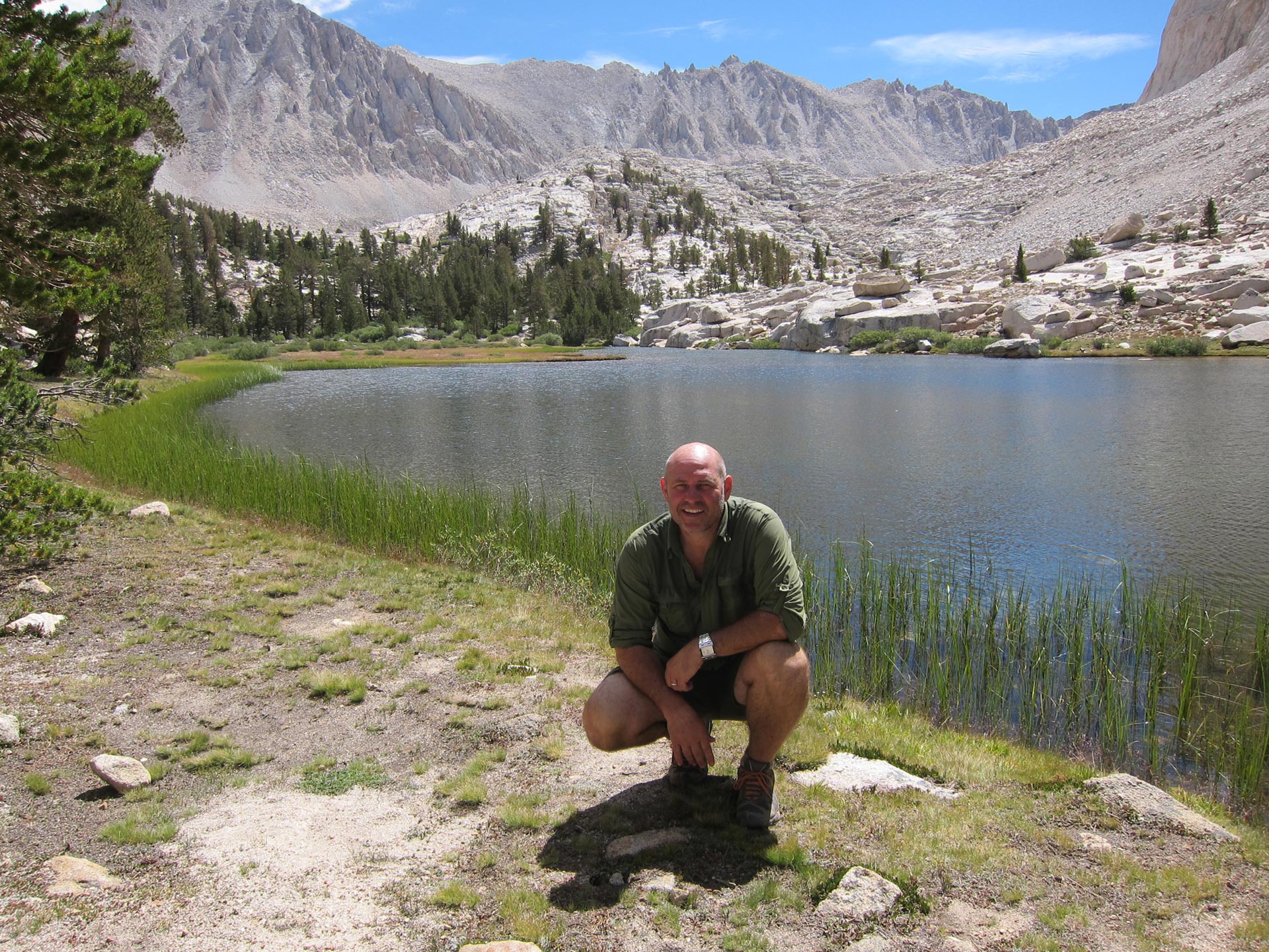
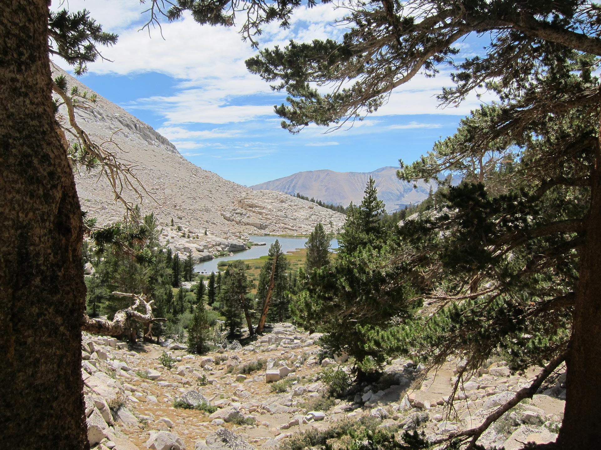
As we headed down, it was an amazing glacial landscape stretching as far as the eye could see. I love these huge landscapes with little lakes and tarns.
When we got down to the tundra like landscape, we cooled our feet and filled up on water. We still had a long way to go today to make it to Wallace Creek, but we were buoyed by having left Forester behind us in good style.
Looking back the way we had just come. If you’re heading North up the JMT, this is how you’ll hit Forester.
In the JMT Guidebook, I had only seen this view of the pass, and so approaching the way we did from North toward South was a little unfamiliar.
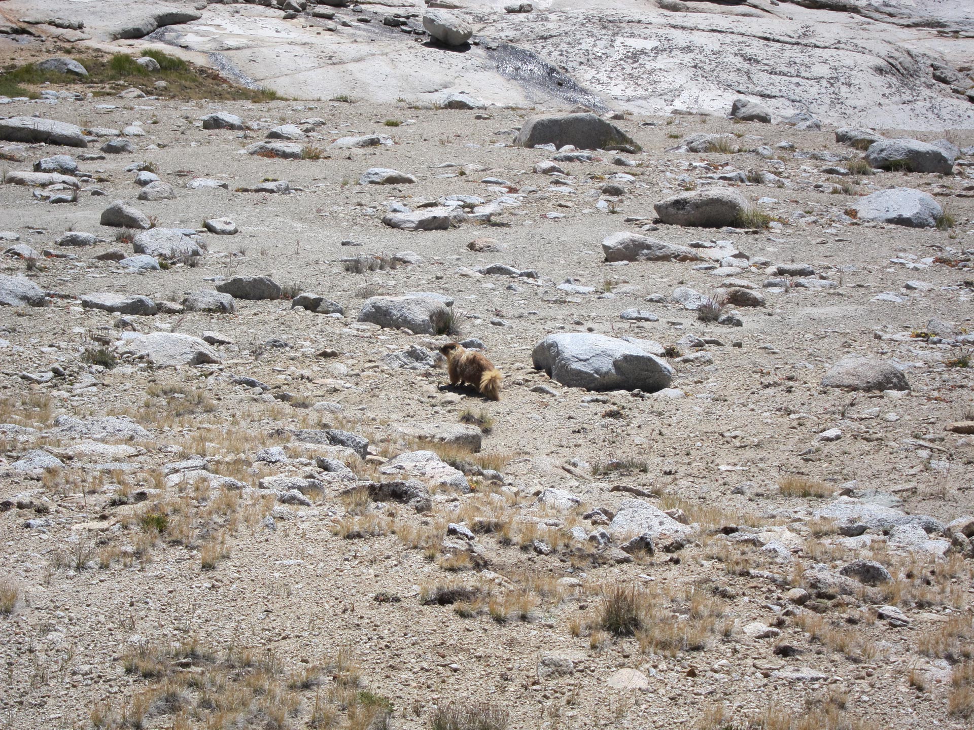
We saw tons of marmots in the area. Before this, I had only seen them in the Alps where they are much more shy and hard to spot. You just hear their little whistle warning others as you move through their colony.
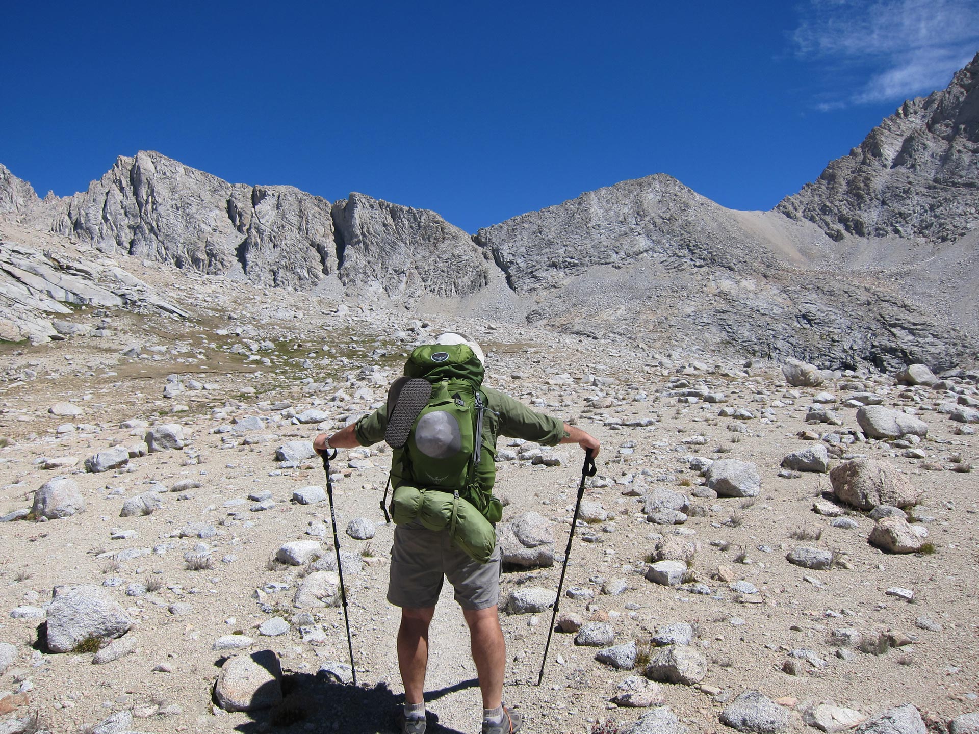
Dennis was feeling happy and wanted to take some comedic pics for his little girls.
That’s my Halo sweat band that I called the Charles Barkley after the basketball player who wore a similar one.

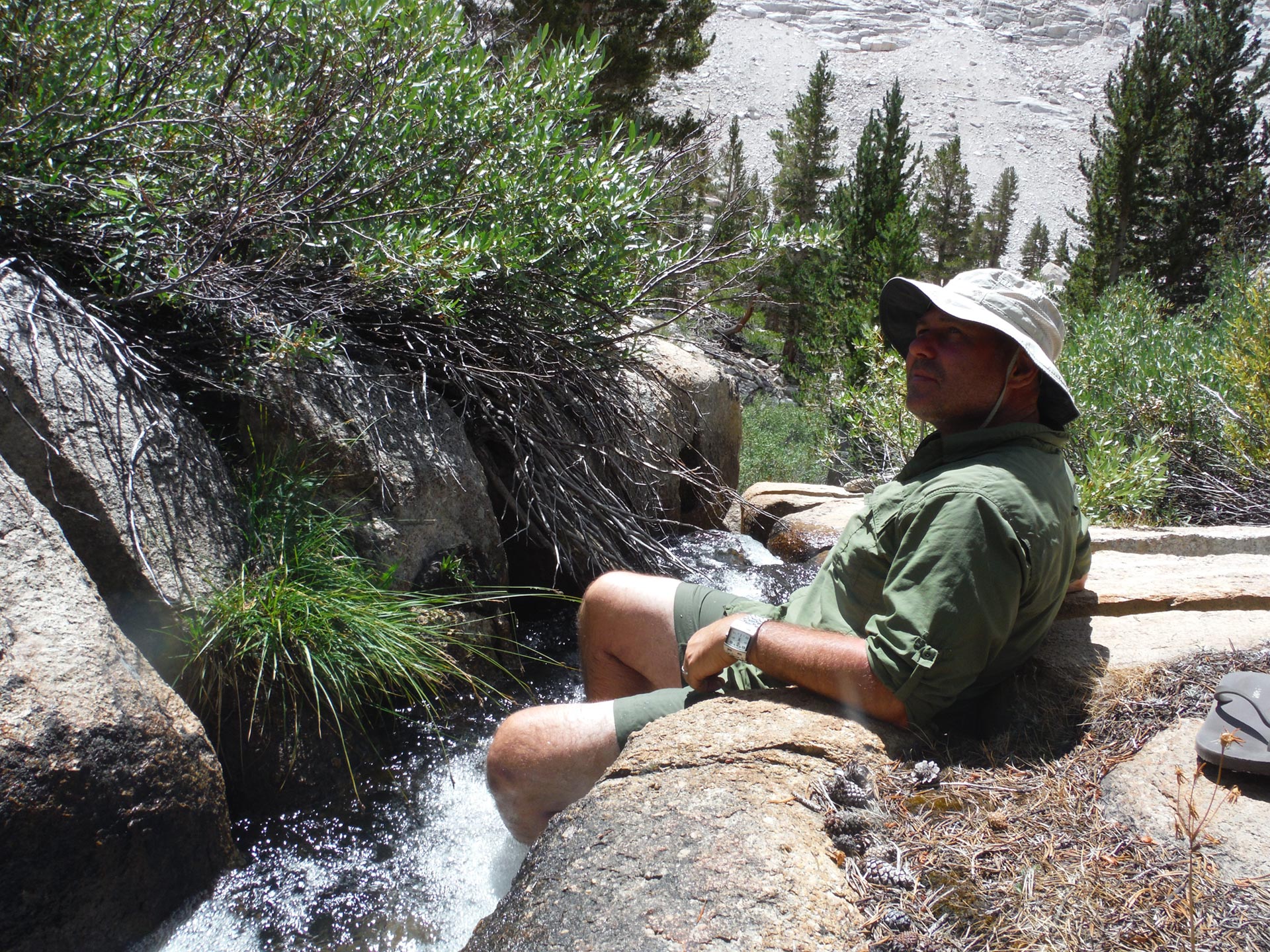
As we came down the trail, Dennis was having a problem with his legs. I had told him about the classic stop-and-elevate-your-feet for 5 minutes technique. It is an amazingly good way to refresh your legs. It works. Just drop, lie down and put your feet up on a tree or rock. This remedies swelling in your feet and drains lactic acid from your legs. Try it. No drugs, no gimmicks, no special gear needed. The higher the legs – like against a tree – the better. It sure made a believer out of Dennis as his leg pains magically disappeared.

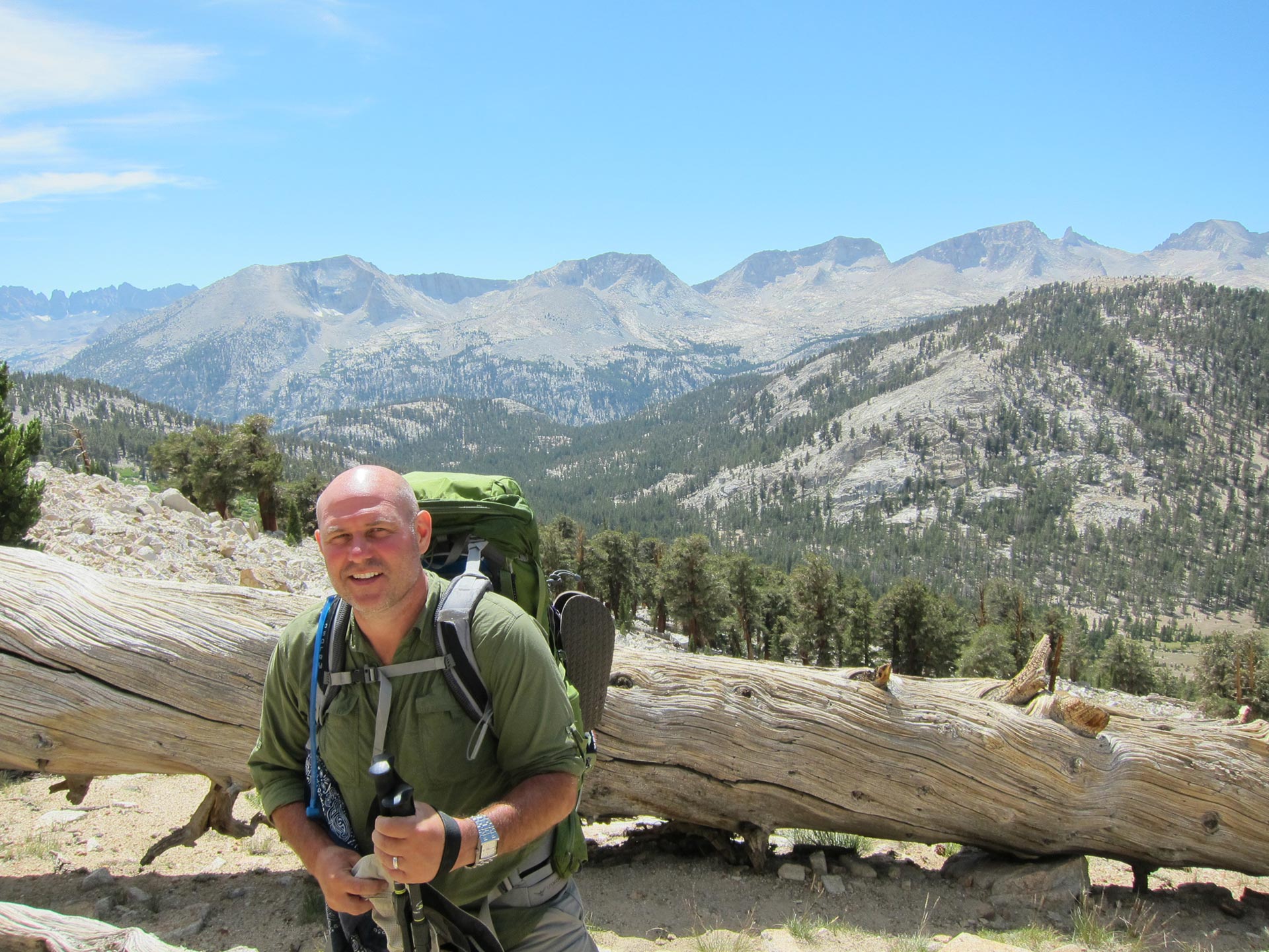
We really loved this landscape.
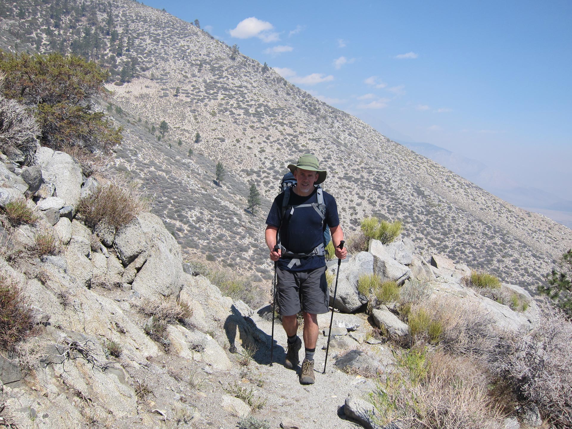
Once we dropped out of the plateau the landscape seemed hot and dry and went on forever. I remember spotting a dude cranking up the trail. Definitely an ultra light guy with his ULA pack, sparse gear, and effortless stride.
At the Shepherd Pass cut off, we could see the end in sight. Only 4.4 more miles to our goal at Wallace Creek.
Near Tyndal Creek, we stopped by the stream and had a little lunch. It was hot and we were tired so I remember not feeling much like eating.
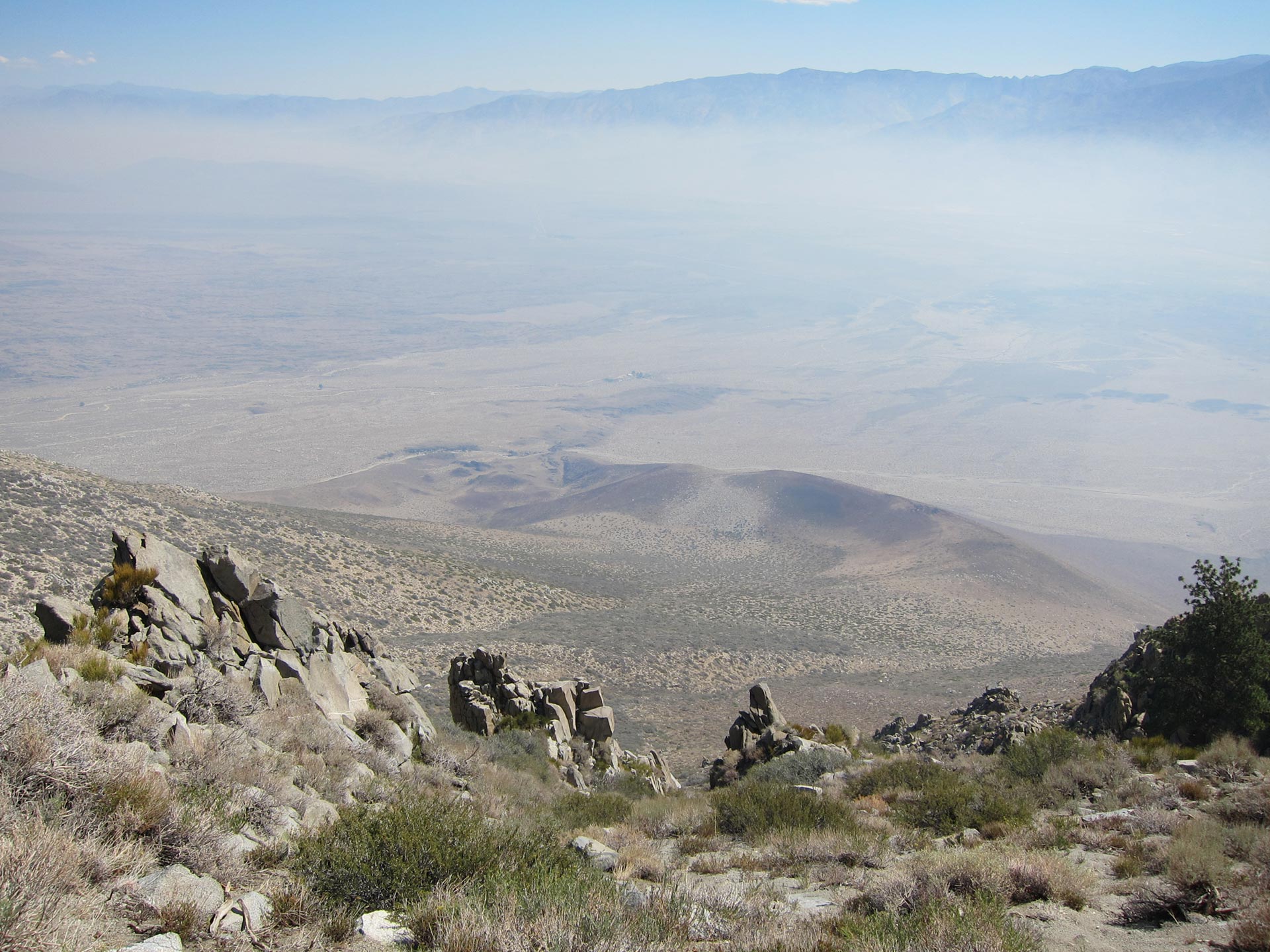
After leaving behind Tyndal, we finally came to the anticipated Bighorn Plateau. In the JMT Guidebook, Elizabeth Wenk suggests spending some time here and I definitely agree. This is a beautiful wide open plateau with openings out on several sides. We loved it up there, but then….
We spotted this cool almost perfectly round tarn. And what are you gonna do with that on a hot and dusty hike?
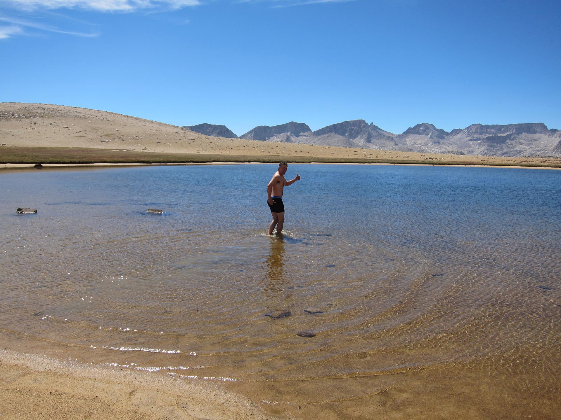
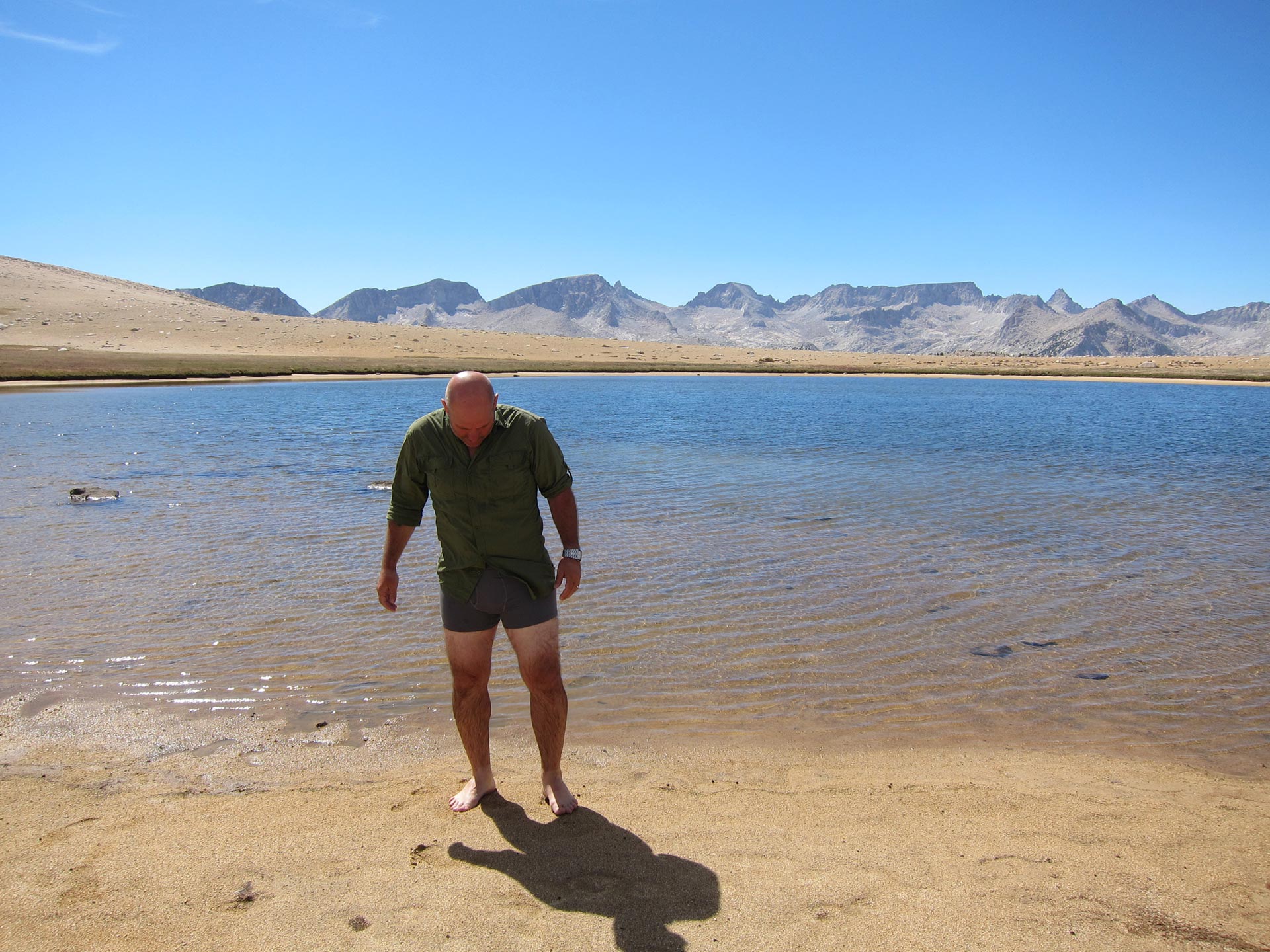
Man that was a fantastic treat. I can’t tell you how refreshed and reinvigorated we felt. It was pure magic up there. In case anyone is wondering, I was really trying to practice leave no trace ethics. I didn’t use soap at all when rinsing off and I ran my clothes through a wash with no detergent twice before coming up so that no trace of detergent would get in the water.

After our little dip, we were feeling great. We cranked down the trail – running downhill towards Wright Creek and beyond.
We made it to Wallace Creek in good time. We picked a good large campsite right near the creek. We had plenty of time to clean up, make a decent dinner, and air out some clothes. We even had a separate dining room of flat rocks. The next day ahead was the approach to Whitney. It would be a shorter, easier day and one we were looking forward to. This day had been perfect. We got our timing down, climbed strong, and had a really enjoyable day. You’d think we’d have a toast, but really when you’re hiking like this and at altitude, you really don’t feel like drinking. Here I witnessed something I never thought I’d see. Dennis Smith pouring out a full liter of single malt scotch. (that’s 2 lbs)
DAY 5 – Wallace Creek to Timberline and Guitar Lake to the Hitchcock Lakes ZigZags
From Wallace Creek towards Whitney, the morning was a fairly easy amble towards Timberline Lake. We were glad to have a short easy day ahead and that we’d have some time to relax and not move forward too much. Whitney would be happening tomorrow and it would be nice to rest up. About 1 hour into the trail, I was starting to struggle, feeling completely out of gas. When we took a break, I quickly drank some water and ate some salty snacks. A few minutes later when we got up to go, I was feeling like a million bucks. You really gotta listen to your body and make sure you’ve got water, food, and electrolytes coming in.
Beyond Crabtree, you’re in the Whitney Zone. That means you can’t do your business in a hole in the woods. You have to poop into a “wag” bag and pack it out with you – in the bear canister that holds your food and toiletries. Since that didn’t seem like a desirable option we decided to give it the old college try before we hit the border. That’s Dennis preparing his throne. It took him about 20 minutes longer than it took me. I later learned that was because he built an actual real throne out of stones so that he could relax in style.
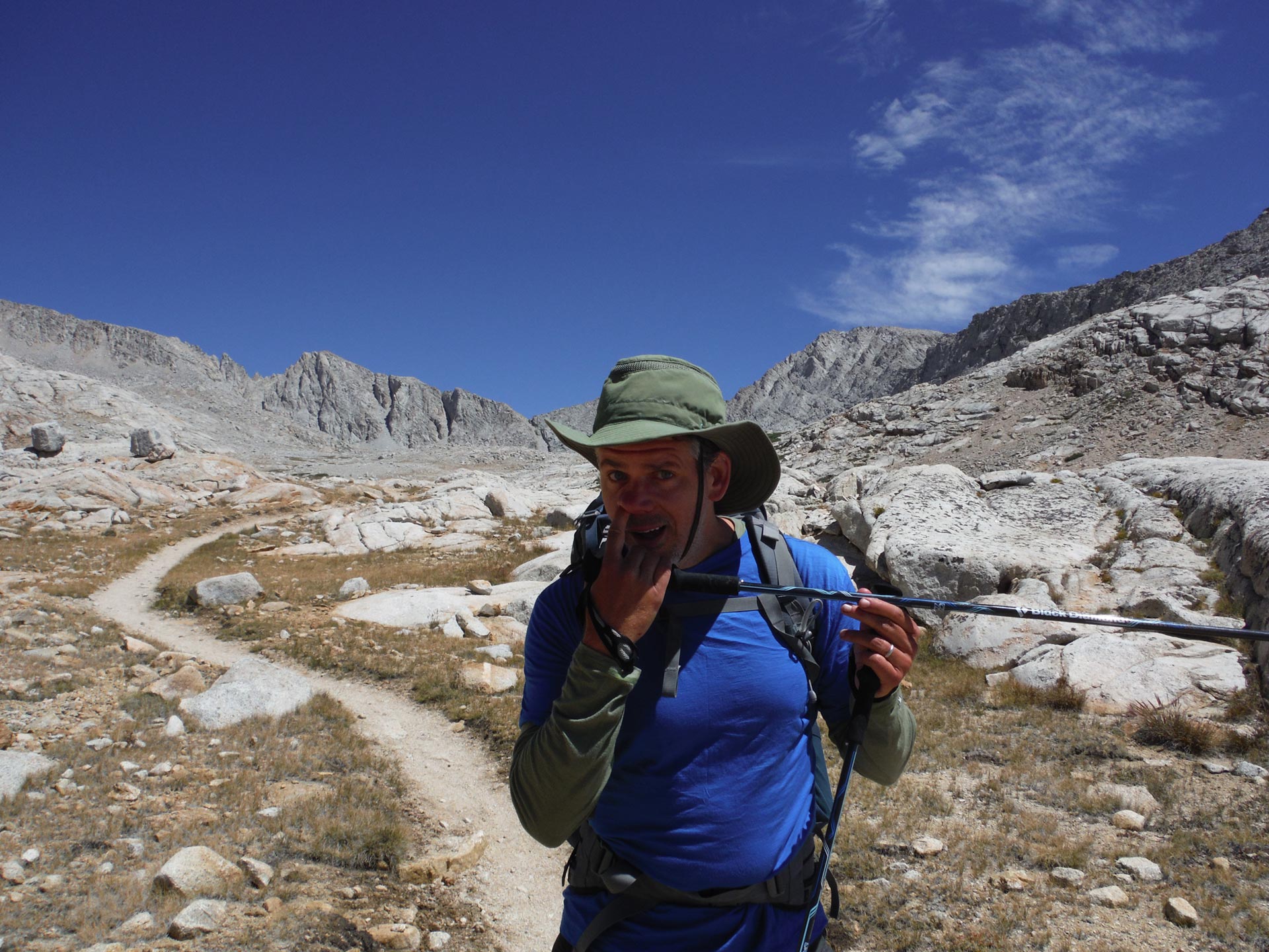
As we continued down the trail we hit a pretty meadow before Crabtree. We were, obviously, feeling strong.
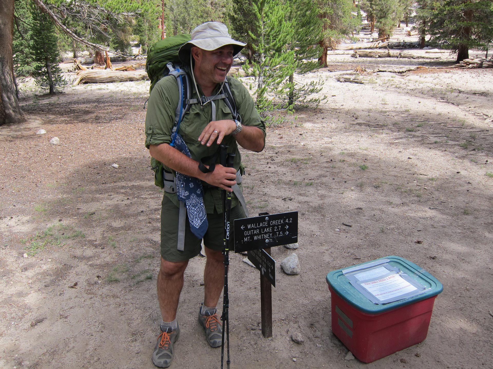
Here’s the cutt-off to Guitar Lake and Whitney. Beyond here, it’s all Wag Bags.
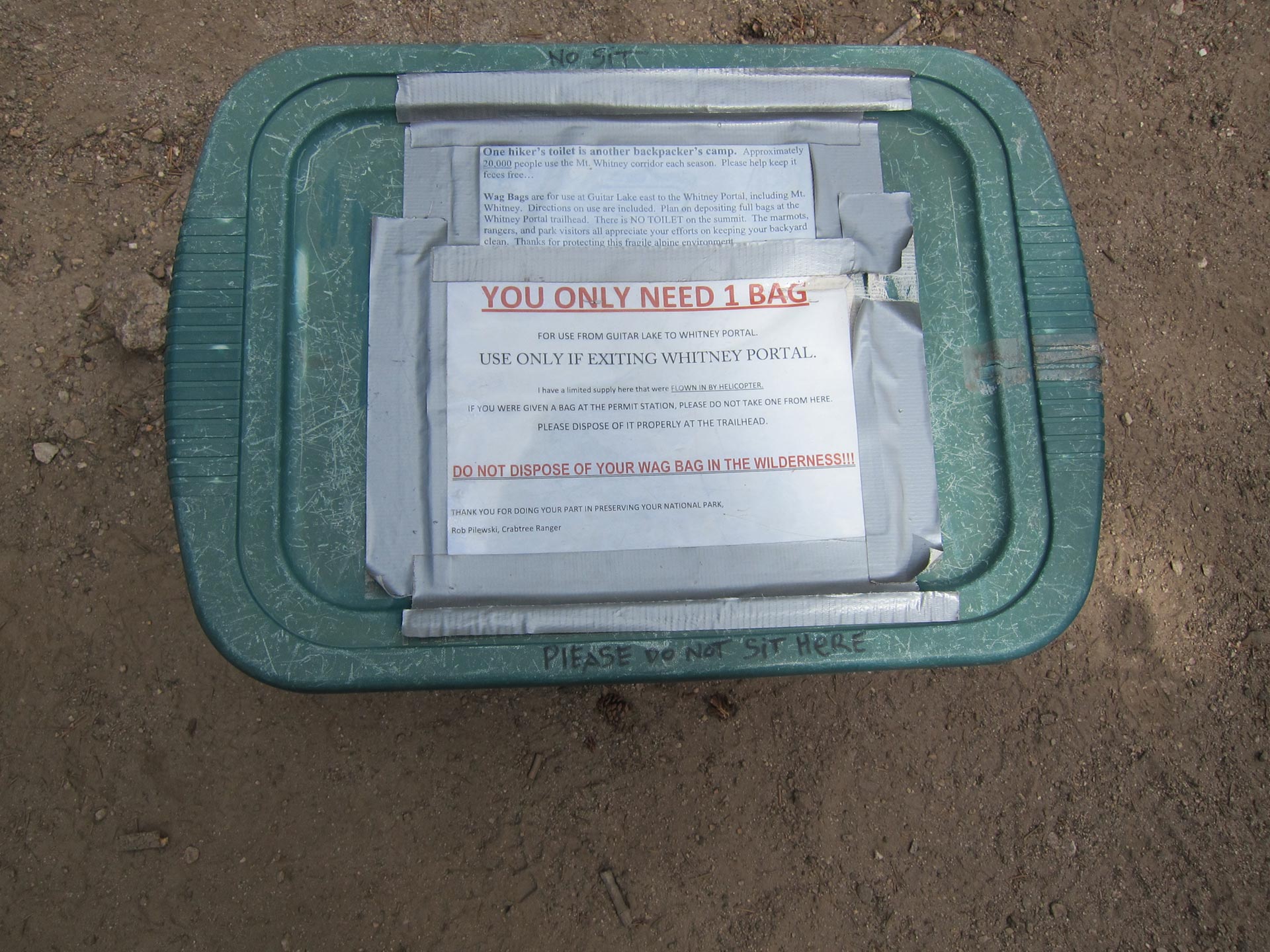
But what if you actually DO need more than 1 bag?
Here we are around Timberline Lake. We ran into the biggest group yet – a whole Boy Scout troop with some old timers who led them. They were really nice and took a bunch of pics for us.

We also met Josue who was doing the PCT with his Dad all the way from Lassen – I think around 500 miles. We were glad to offload some food to him. He was running low and we were carrying more than we needed. A win-win situation if there ever was one.
It was nice to know we were close and that Whitney was somewhere up there….

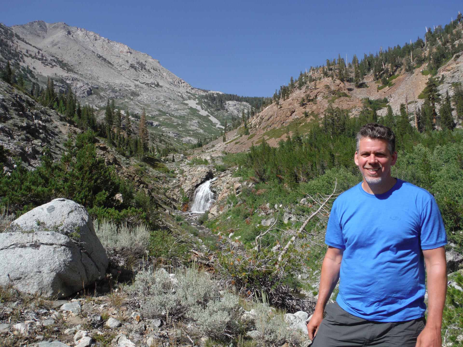
We ambled up towards Guitar Lake. As Whitney Creek tumbles down the granite ledges, we found a great place to picnic, soak our feet and nap.
I can’t tell you how good this felt! I even took a full shower in a little waterfall. Again, no soap and all my clothes had been washed several times at home in just water to make sure no detergent trace at all would get in the water.
Here, I had a great upside down snooze for about 30 minutes.
Here, we’re approaching Guitar Lake.
That curve there is the neck of the Guitar.
Guitar Lake was a welcome spot. But there were quite a few people there. Most people who summit Whitney from this side camp around here.
We ran into Kim who was doing the whole JMT with Eric. She was cool. I met her at the top of Glen Pass. Since I had way over-packed on food, I gave her and Eric some snacks and hung out with them for a little while. Kim was carrying a ULA pack and I was curious about it. On the JMT, you end up kind of crossing paths with the same group over and over since you’re probably more or less doing similar distances at the same time. She gave me a hard time because it seemed like every time she came across us on the trail, I was lying down with my feet up on a tree. She wasn’t familiar with the old leg elevation technique. She said she just thought I was really lazy 🙂
That’s Guitar Lake. From here, you can see how it got its name. Because we only did about 8 miles, Dennis wanted to keep exploring the area above Guitar. I wasn’t really in favor because I felt like we needed to set up camp and get ready for our 2 a.m. wake up call for the dawn summit. Plus, as Kim had suspected, I was feeling lazy. Dennis insisted we go a just little while, and I reluctantly agreed.

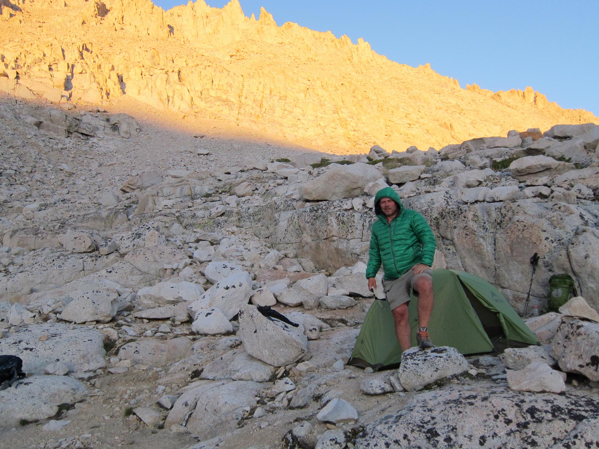
Man was I glad I did. After climbing for about 30 minutes we found a little ledge right at the first zig zag towards Trail Crest. It seemed too good to be true. It was a glorious spot and we had it all to our selves. As Brigham Young once (more or less) said. “This is the place!”
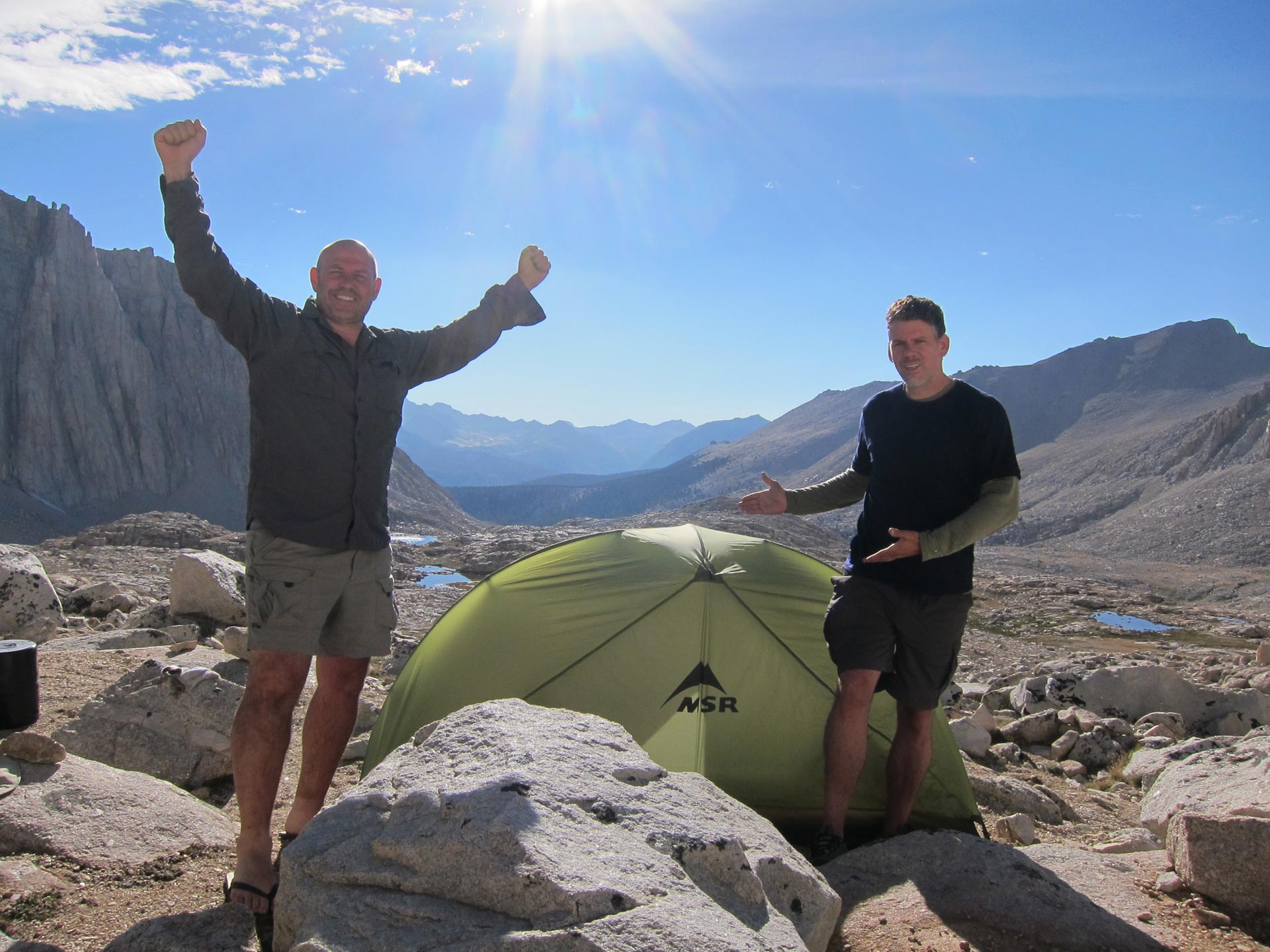
And what a fantastic place. The sun was high. We were warm and comfortable. Far from the maddening crowd at Guitar Lake and already at the beginning zig zags. We pitched our tents and got everything ready for dinner and the climb tomorrow.
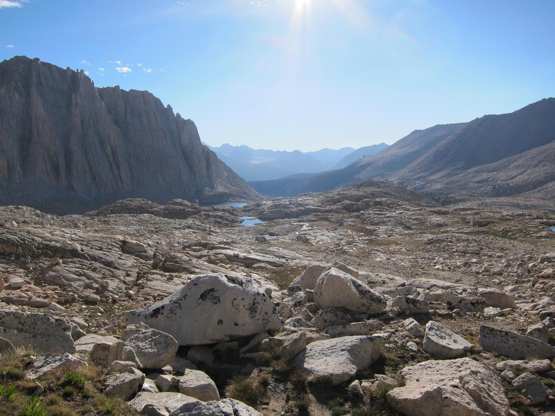
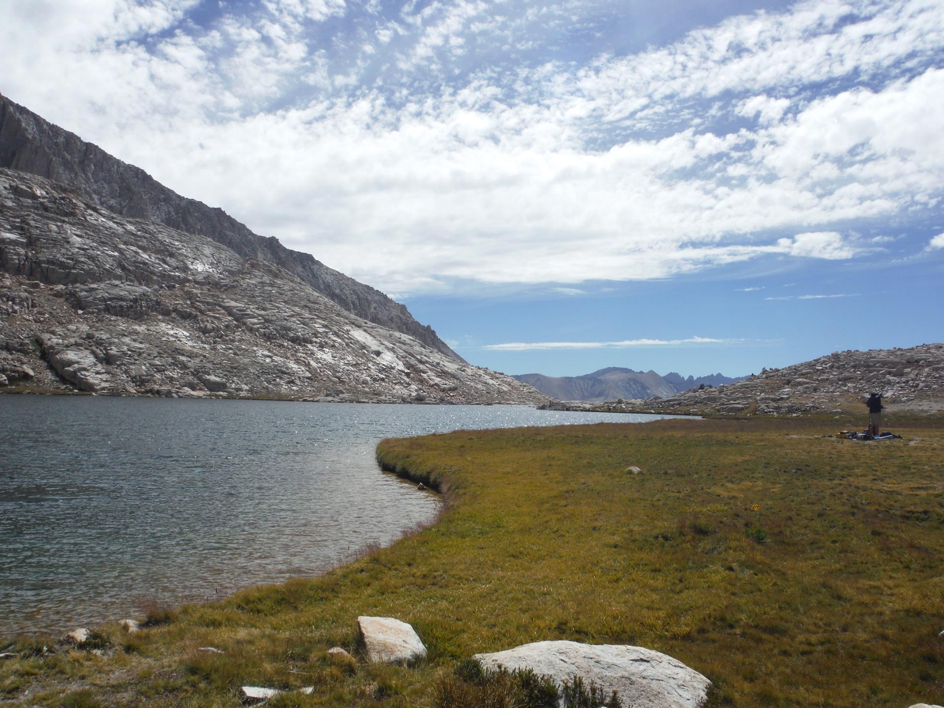
Below you can see Hitchcock lakes.

Can you imagine a better spot to hang out and watch the sunset while sipping some Dennis-style bouillon, beef jerky, and dehydrated vegetable soup?
As the sun set, the whole bowl lit up with alpenglow.
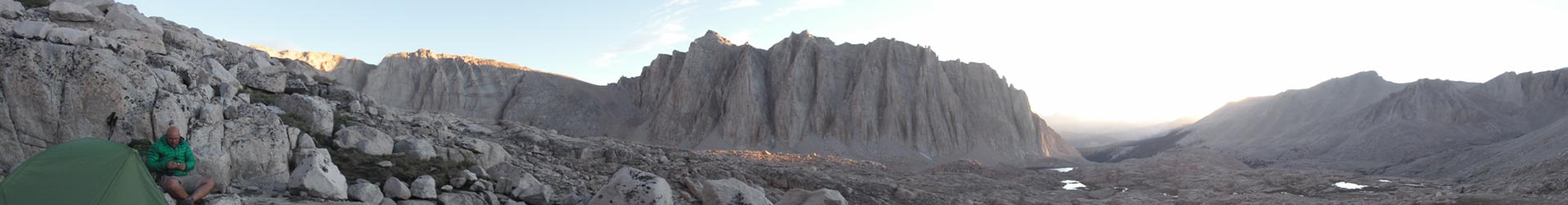
If you click this photo and pan around, you’ll get the whole glorious scene!
DAY 6 – Nighttime Magic Up Mt. Whitney Summit – Dawn – Back Down and Exit Whitney Portal

On Forester Pass, Bob and his group had mentioned they were going up the mountain at 3 a.m so that they could summit Whitney at dawn. That seemed like a GREAT idea! We made a plan to wake up at 2 and hit the trail by 3. We’d be able to drop our packs at Trail Crest and then head left towards Whitney Summit for sunrise.

As usual, it took Dennis just a wee bit longer to get rolling. cough cough.
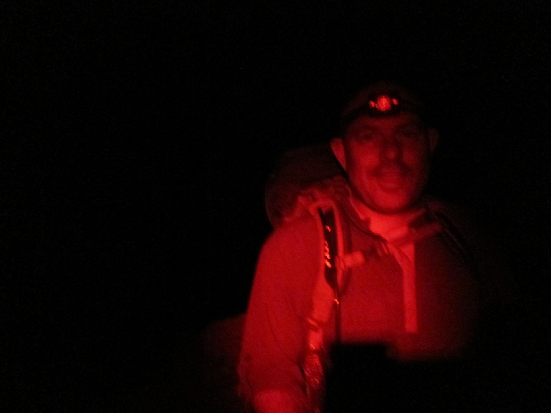
That’s me with my headlamp lit up by Dennis’ red light setting. It provides light without blinding you. I preferred the white light.
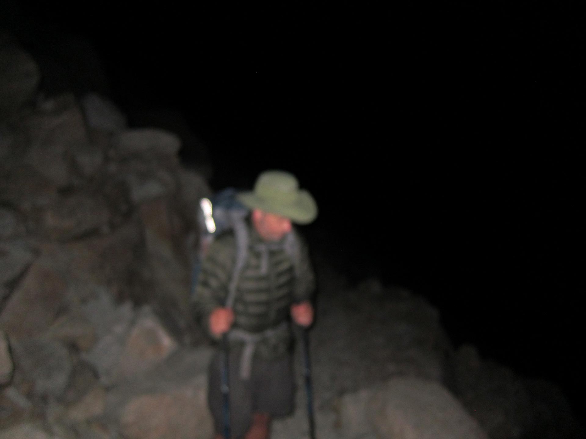
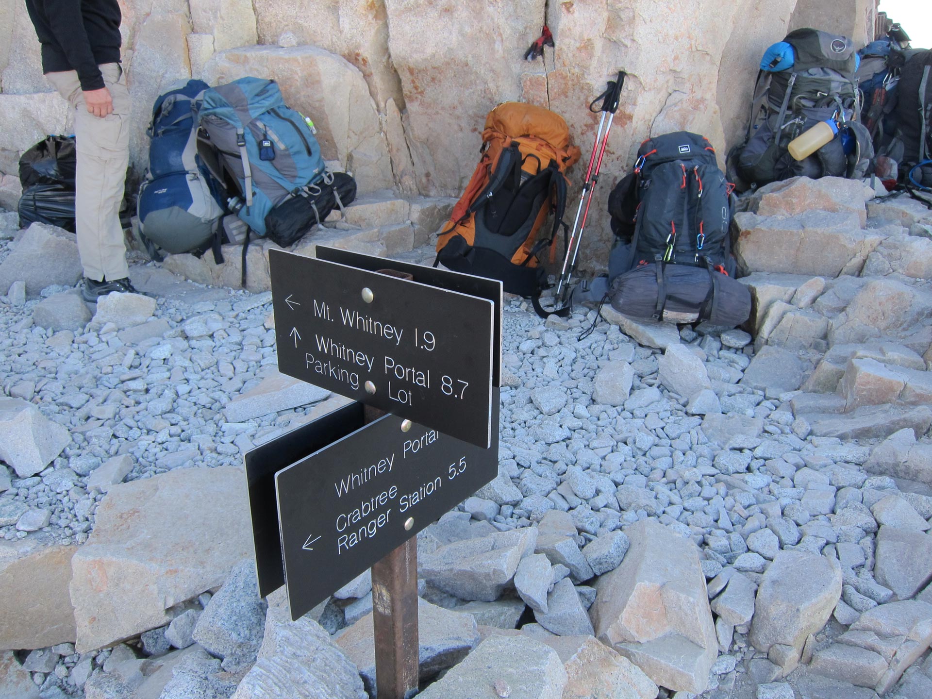
I really loved climbing up in the cold darkness with just the light of your headlamp illuminating the 20 feet around you. It’s really eerie and otherworldly. I felt great and cranked ahead, really euphoric. At Trail Crest, I dropped my pack taking just the lid which doubled as day pack and carried some water, snacks, and a warm jacket. I went ahead. Dennis wanted to reorganize and take it slower.
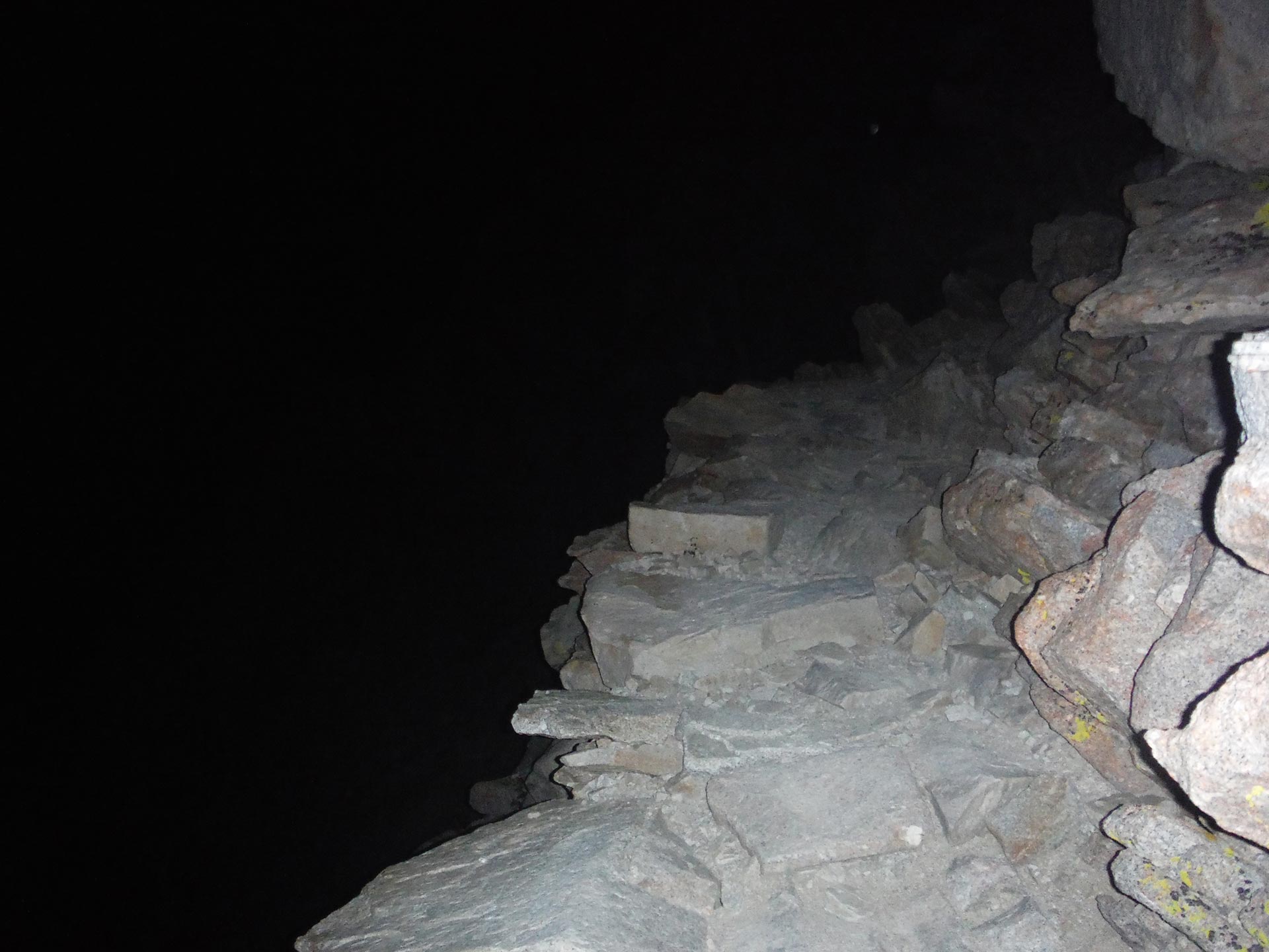
As I climbed from Trail Crest, the footing started getting a lot dicier in the darkness. After a while it started to feel like a random jumble of rock slabs, not like a trail at all. The trail was very much exposed, with sheer drops at the edges. In the dark, it was a lot more confusing and deceptive because as you progress, you pass behind the sheer back of Mt. Muir and the trail starts to go down. Earlier, when I was climbing up the zig zags, I could see the head lamps of a group who started before me. At first I was catching them, but then after the turn off at Trail Crest, they seemed to be going up and I seemed to be going down. Then they disappeared completely. It all seemed very wrong. I couldn’t figure out what the deal was. I was wondering if I had gotten on a mountaineering route that led down towards Arctic Lake or something. It all started to feel a little like Into Thin Air – which was not a great feeling. I knew that there were more people coming up behind who had done the trail before, so I figured I’d hang out and see if they came this way. It was cold and the wind was whipping around. After a few minutes I was glad to see a white head lamp approach. I could tell by the way the person was walking that they were really unsure and tentative in their steps. The rock slabs were steep, broken, and hard to negotiate. As the hiker got closer I heard him say “fuck!”. Then I knew that despite the white – not red – light, it was Dennis. And he was even more clueless than I was!
I called out and went to meet Dennis. After a couple of minutes, we decided to double back towards Trail Crest to see if we had missed a turn off in the dark. Soon, we ran into Bob and his daughter along with Josue coming the other way. Bob had been up before so I figured he’d know if we were on the right trail. But in the darkness, he was confused too and was worried that the trail was heading down and didn’t seem like a trail at all. We backtracked a few times and looked to see if we had missed a turn off. With sunrise coming, we decided to just go for it. We headed back down the exposed slabs and see where it got us.
As the light came up, we could see we were actually heading the right way. When the first light of day hit the pinnacles. It was an incredible sight.
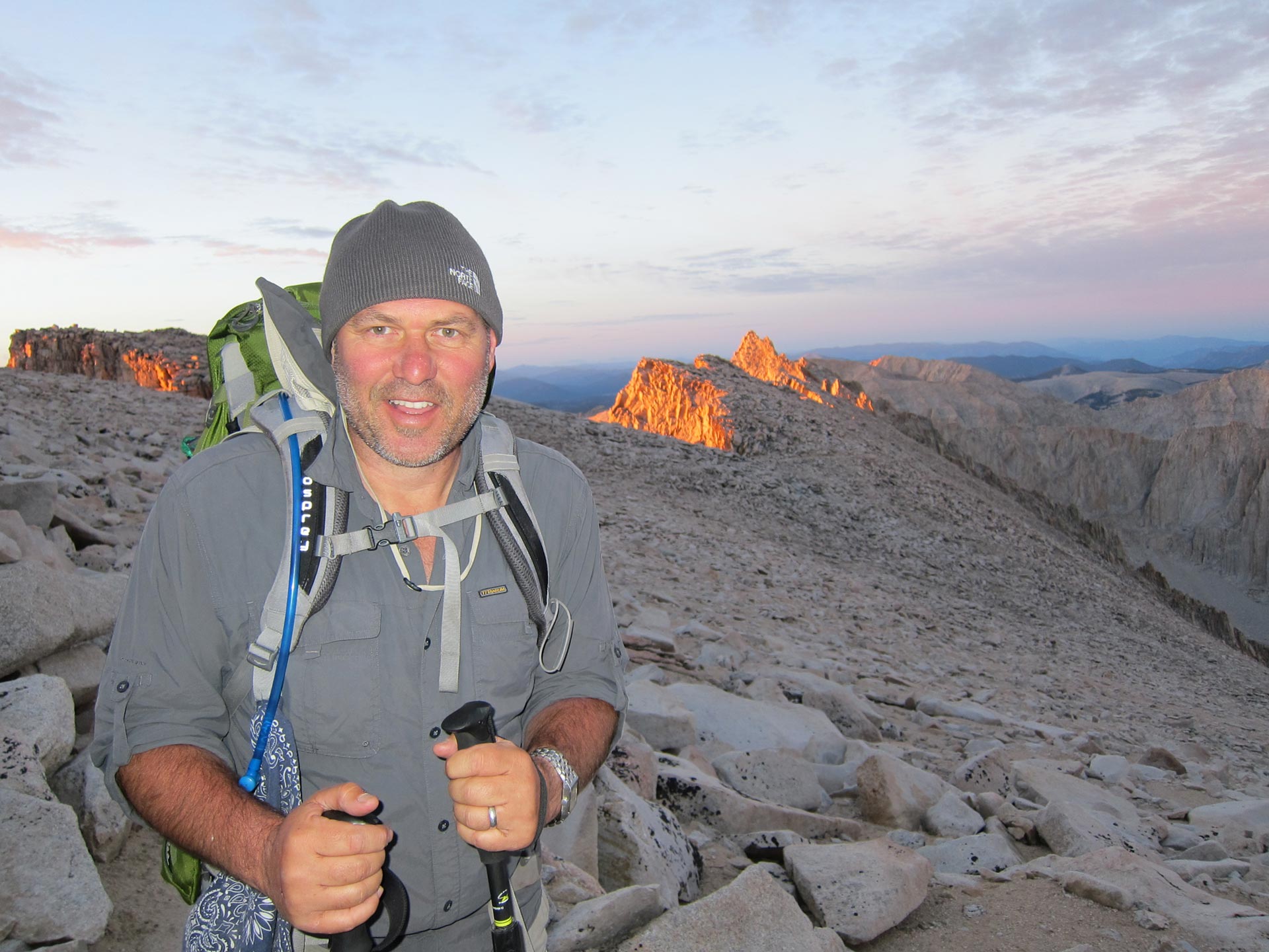
I felt really great. Glad we were within a short walk. It was cold, but inspiring. I didn’t really feel much altitude or tiredness, but in a few of the pics, my eyes look slightly unfocused.
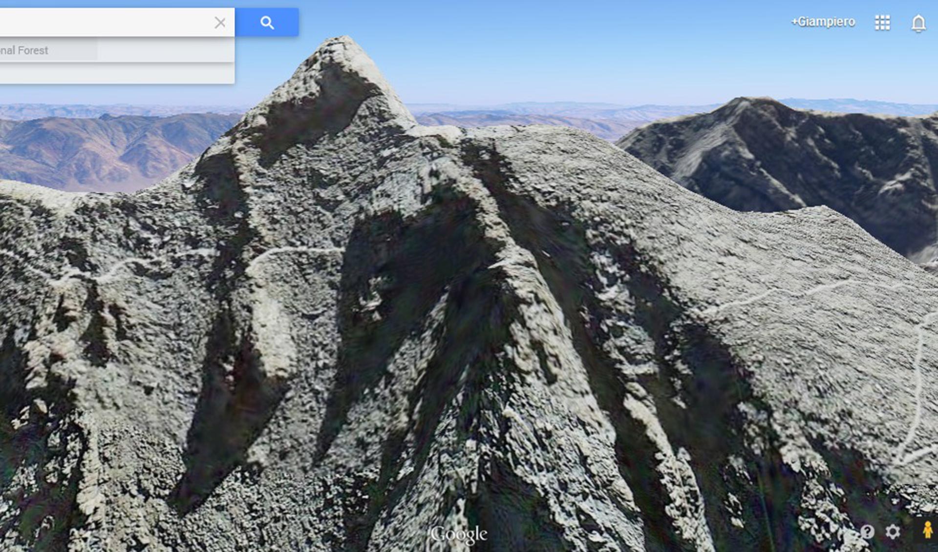
In the shot from Google Earth, you can see why the dicey section seemed so confusing and hairy in the dark.
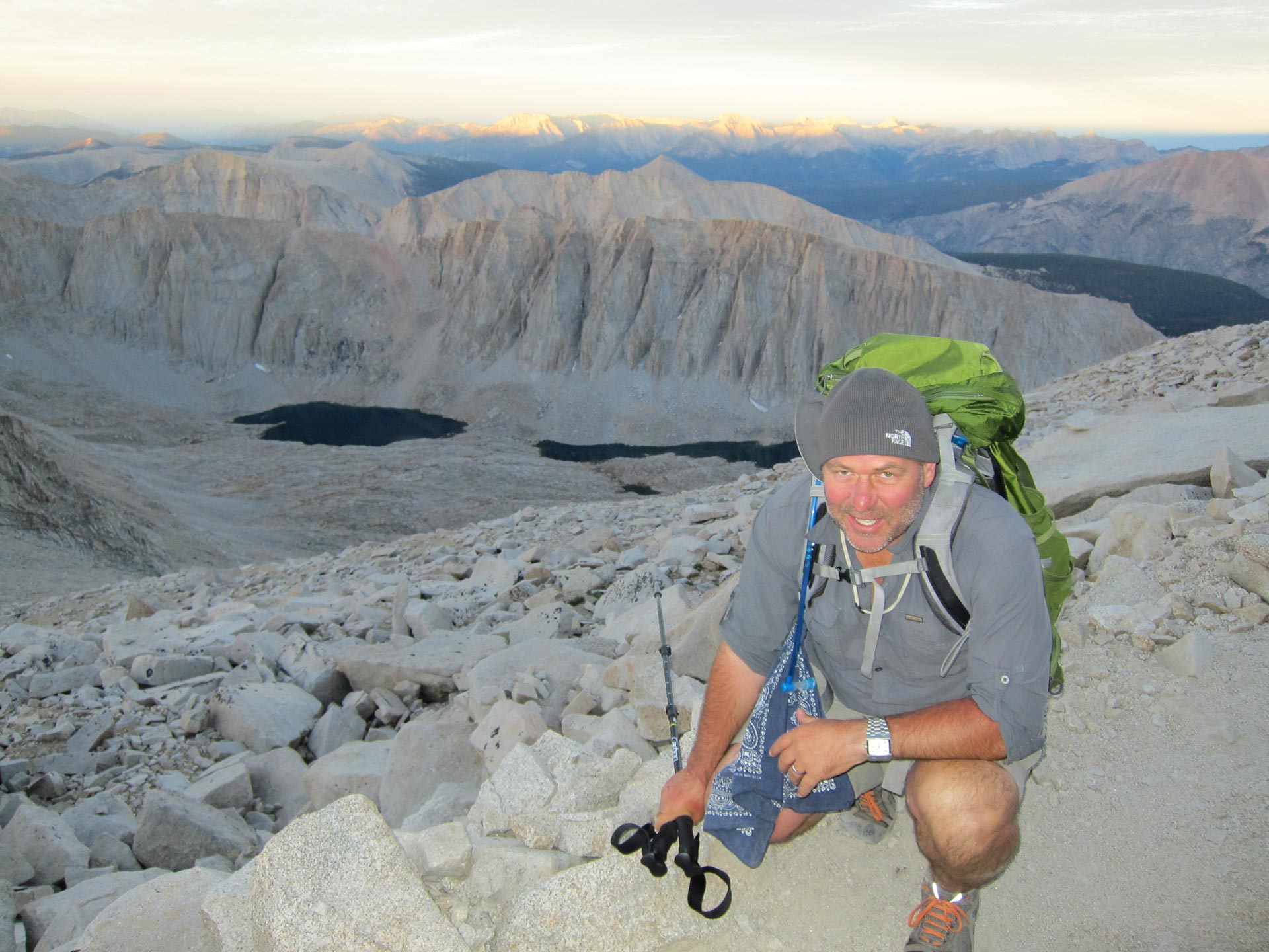
Down there is where we camped last night.
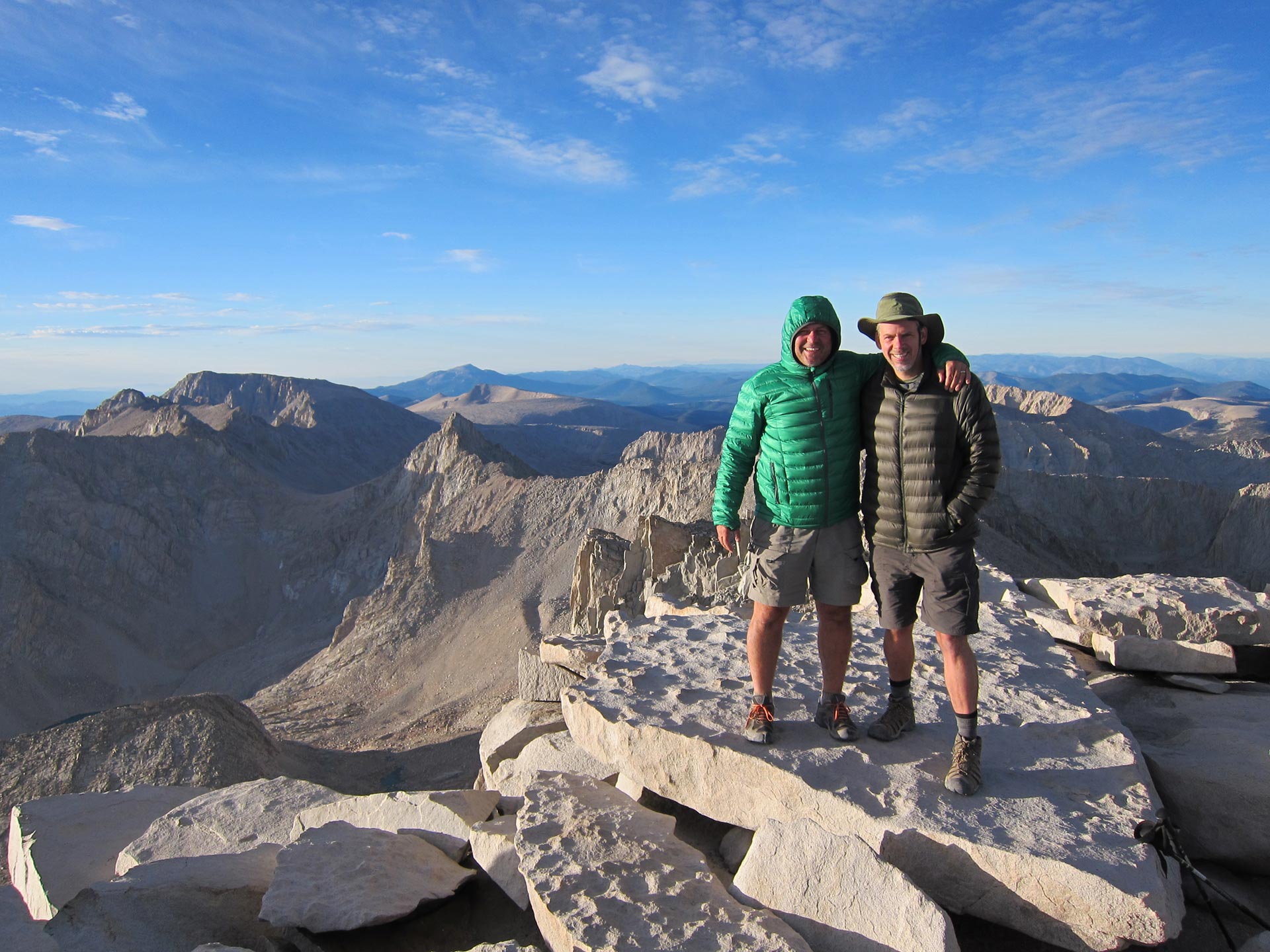
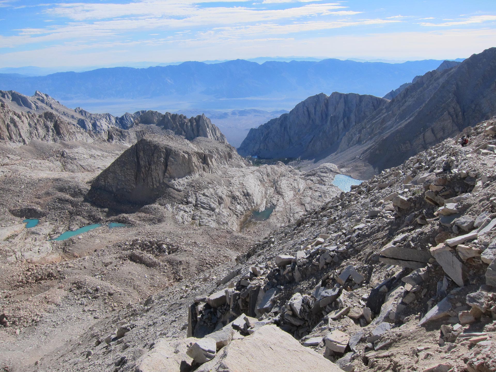
Finally, after a long traverse across a slab pile we hit the real summit. When we got there, it was cold but thrilling. The views were incredible. The summit doesn’t really feel like a peak. It’s more like a vast pile of slabs as this photo illustrates.
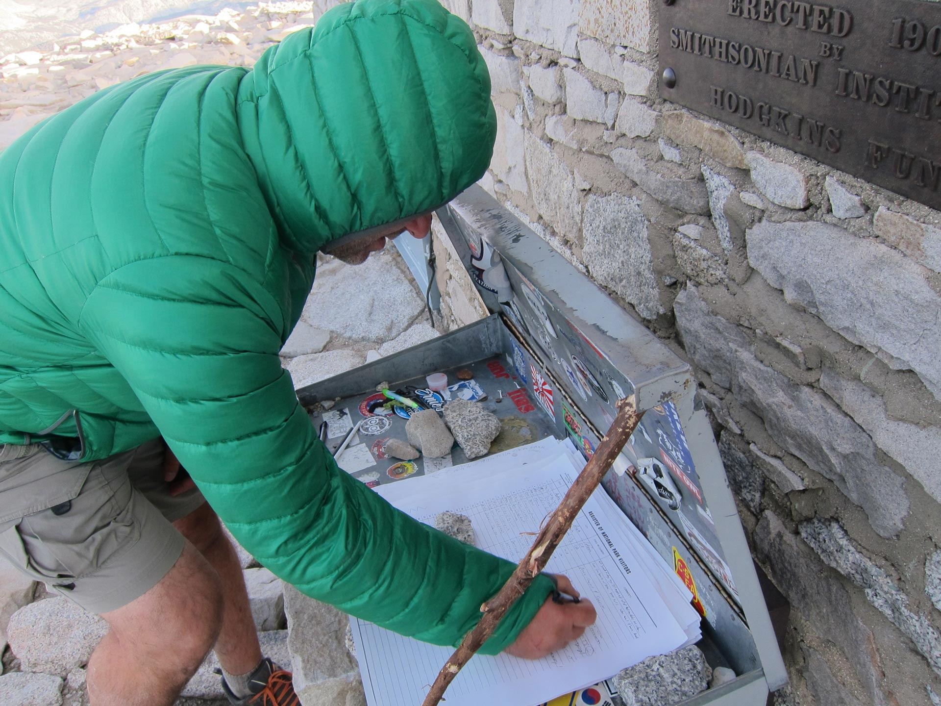
When I hiked, my wife was 6 months pregnant. During the hike, I thought a lot about the new creature waiting to enter the world. My note in the register was a wish for her to have an adventurous and happy life.


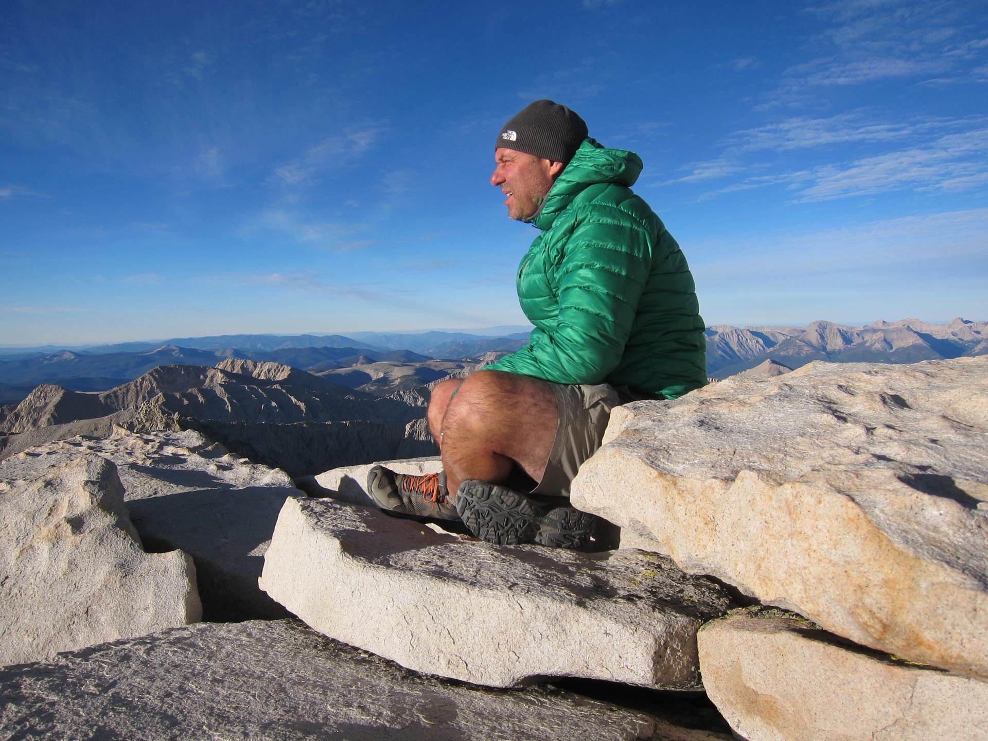
The views in every direction are incredible. It’s a huge stark landscape to the North and West – full of lakes and peaks. We had the summit to ourselves with only 3 or 4 other people. They were cool including a father and son who were breakfasting in the stone bivouac at the summit. They took this photo.
I could have stayed up there forever. But sadly, I eventually had to go. Dennis was ready to head back a little before me, so I told him to go ahead and that I’d catch up.
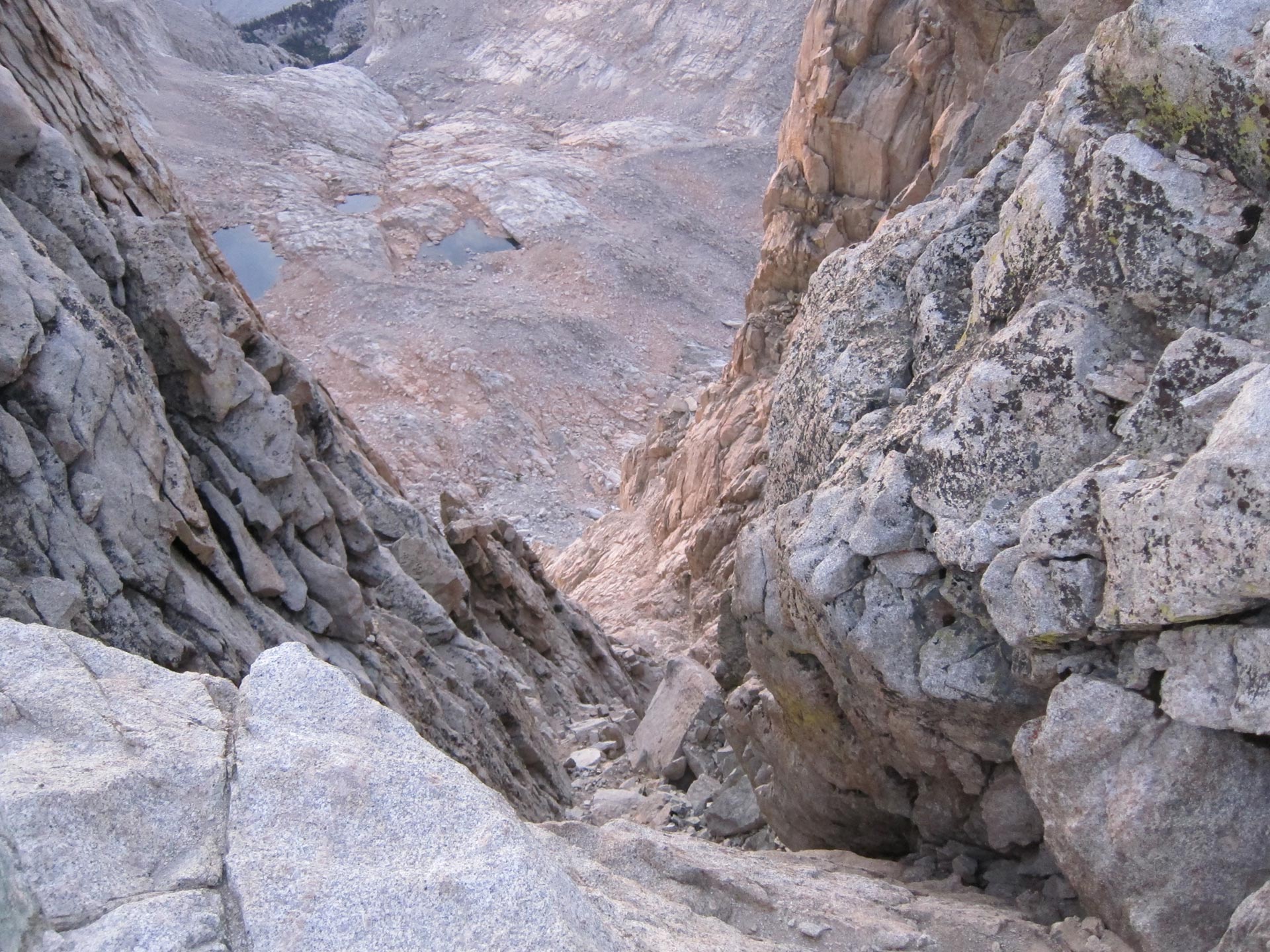
In the daylight on the way back, we could see the trail we had walked in the dark. You can see why it didn’t seem right when we couldn’t see the general contour of the path. At night, the sheer drops were just dark abysses.
On the way back down, you can see Trail Crest, where you leave your pack for the summit ascent. By the time we got back, another handful of hikers were on their way up. I was pretty euphoric and leaping down the trail. Someone said, “Wow, you’re looking very spry.” And I said, “yeah, it’s easy to show off when you’re heading DOWN hill.”
The way down Whitney really sucked. Dennis had wanted to head back from the summit before I was done, so he went ahead and I was rushing to catch up with him so he wouldn’t have to wait. But he was moving pretty well and I didn’t catch him until after the famous 100 switchbacks. After the excitement of the summit, going down towards civilization on a heavily used switchback trail was not that much fun. It’s all scree and a long long way down. What really sucks is that you can see the portal far before you get there. So you’re just slogging back down to the general store with visions of a beautiful hamburger, fries and beer dancing in your head.
WHITNEY PORTAL
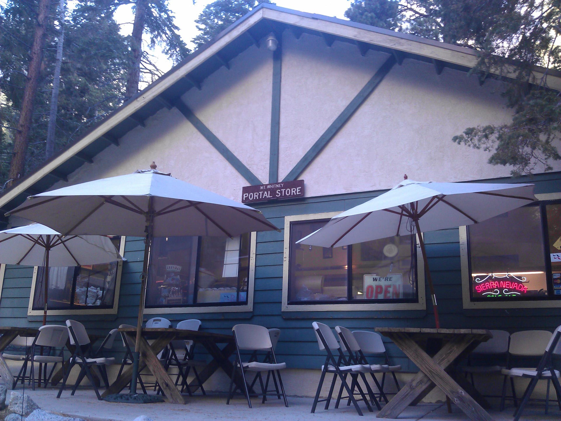
When we got back to Whitney Portal, something like 17 miles from our campsite last night, we were shot. My brother had come to pick us up and drive us back to town. He said we looked pretty rough and that he was actually a little worried about Dennis. Two patty melts, two fries, 3 beers, and 2 ice cream sandwiches (and that was just me) later, we felt better. Dennis was kind of out of it, and became convinced that he had lost his cell phone. He notified the people at the store and left my number in case someone found it. He was really bummed out. Of course, as soon as he got to the motel, he found it. When I got back to the motel, I laid in the tub with the shower running over me drinking bottle after bottle of water. Shortly after our epic Whitney Portal meal, we went into Lone Pine for a huge meal. Salad, soup, escargot, elk, ice cream. The works. That night, I slept like a dead man. In the morning, breakfast at the hotel included eggs, what-in-ordinary-circumstances-would-have-been-considered-disgusting biscuits and gravy x 3, plus glass after glass of juice. After all the hiking and no appetite it was catching up. But no matter how much we ate, it felt like every cell in our bodies was just sucking it up. After breakfast we packed up and left. In Palmdale, we hit In and Out Burger and polished off a burger, fries, and a shake. That was the official last meal of the trip.
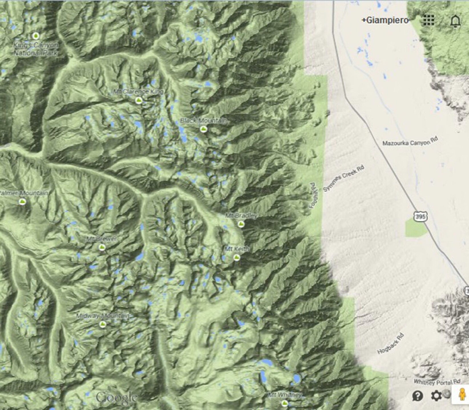
Here’s the area we covered. From the Sawmill Pass trailhead off Division Creek north of Independence, CA just off the very top off the map to Whitney Portal near Lone Pine at the very bottom.
POSTSCRIPT
This hike was one of the greatest trips of my life. The scenery was beautiful and the hike was a challenge and a discovery – learning about gear, logistics, distances, what we were capable of and not. Even though I had grown up hiking, I was not very experienced with this type of hike. Doing this without a hitch gave me a lot of confidence and the conviction that I could handle a lot more, and I resolved that I should spend even more time exploring the incredible landscapes in our backyard.
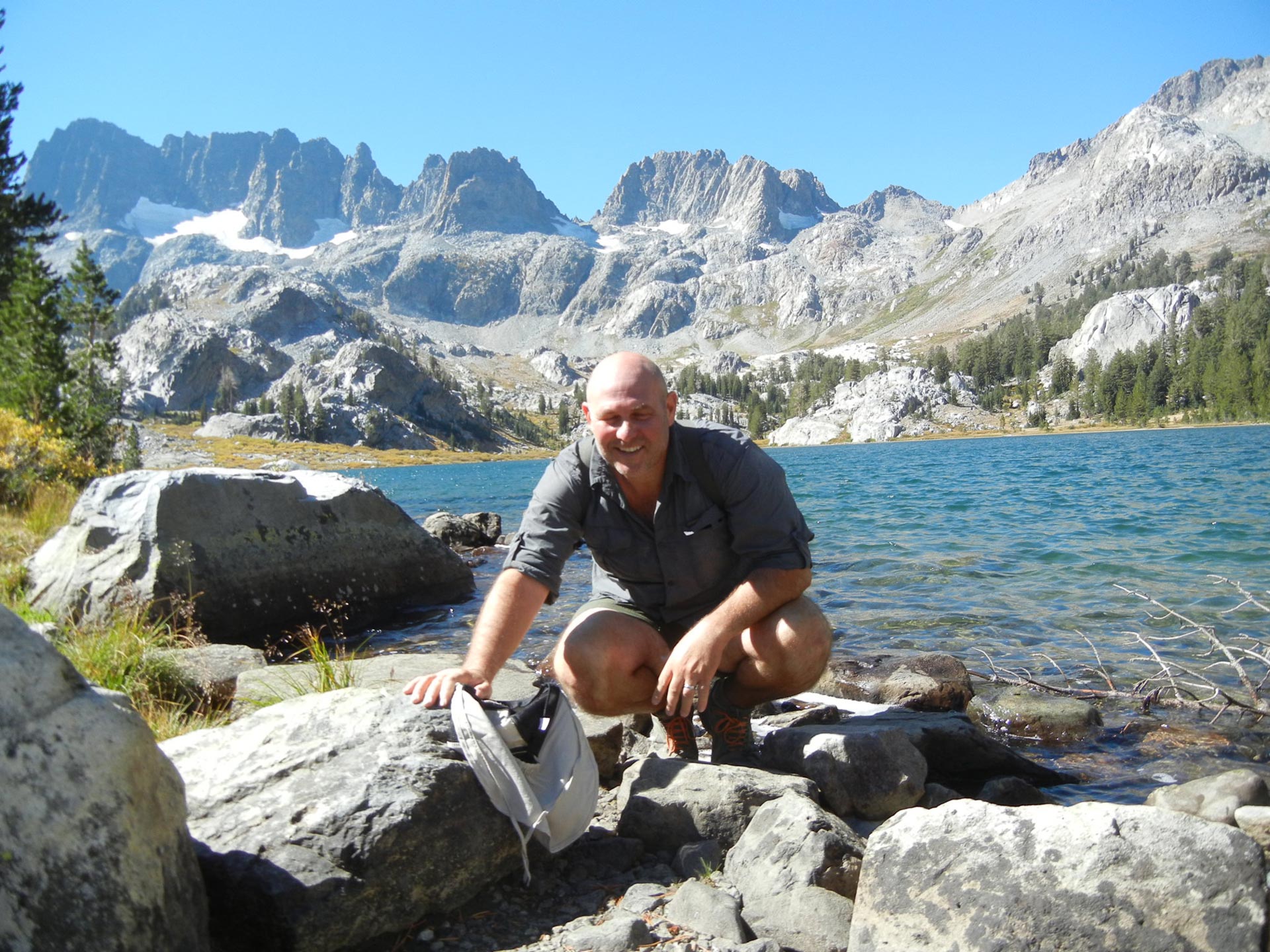
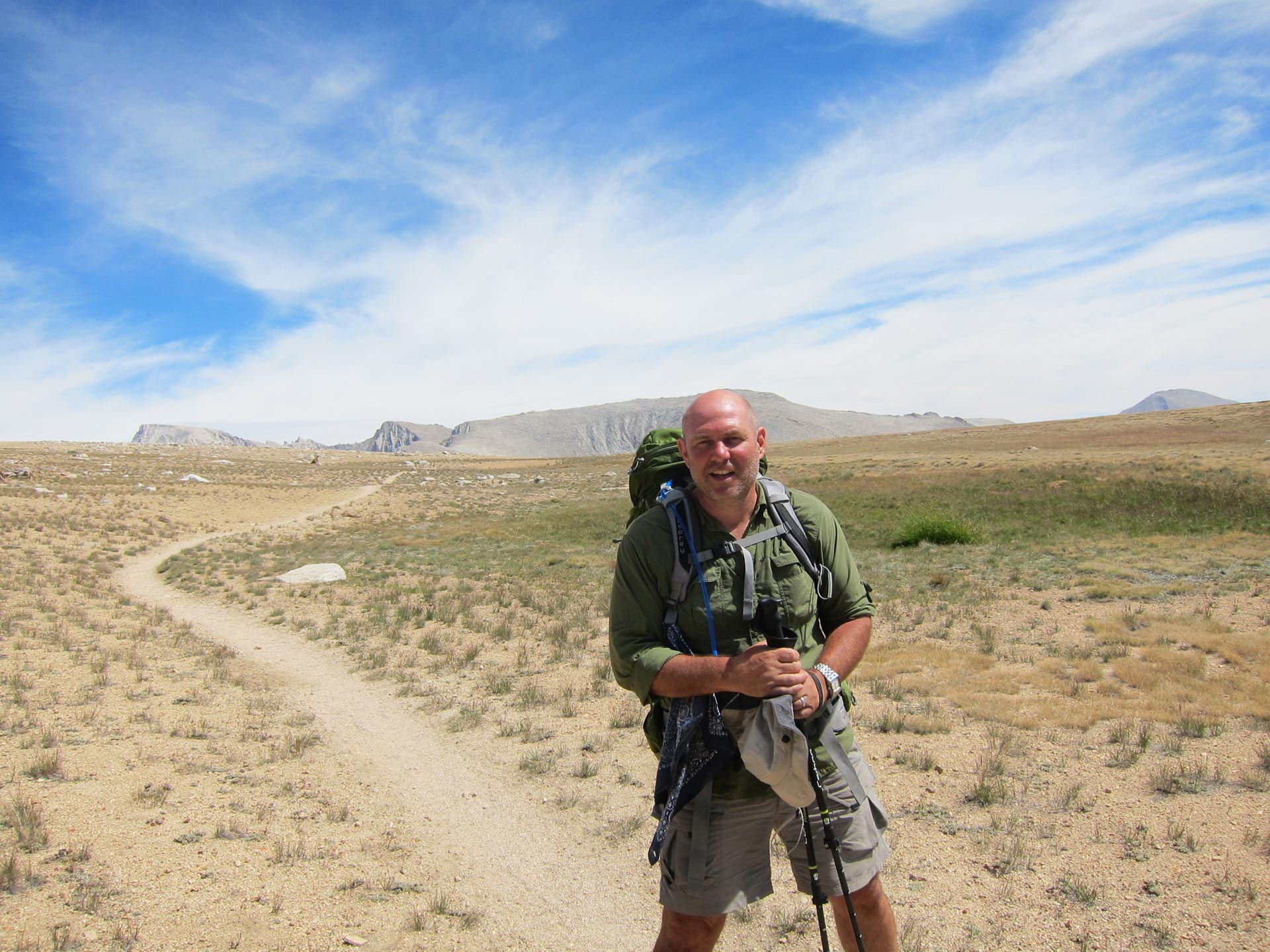
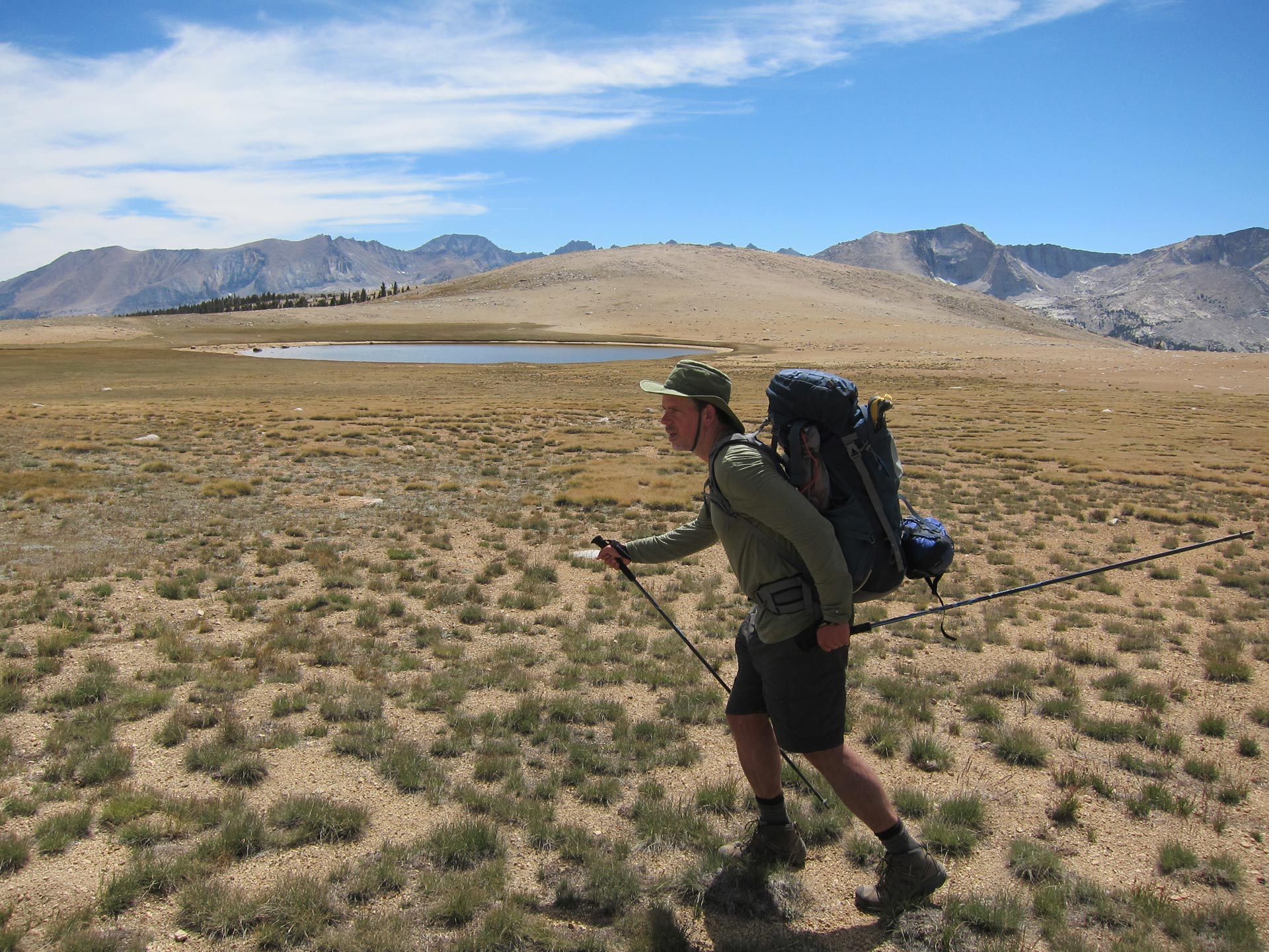
Shortly after the trip, my pregnant wife and I took a 2,000 road trip across California. From LA all the way up HWY 1 almost to the Oregon border and then back down the Eastern side of the Sierra exploring the coast and mountains as we went. We stopped for a couple of days in Mammoth. It was almost the last week of the season. It was starting to get cold and windy and the leaves were changing. While my wife rested and relaxed, I got up early and headed into the mountains. From Mammoth a short drive gets you to within striking distance of the JMT and points beyond. One day, I walked from Agnew Meadows past Ediza Lake and back. It was incredible and seemed like a routine jaunt even though it was about 15 miles with a decent climb. The trail even takes up the JMT for a mile or two which was cool.
The next day, I walked from Lake Mary over Duck Pass and towards the lake. It felt great to get back up there. Just looking at these photos, I can’t wait to get back into the mountains again. It’s just like the old guy I ran into as the sun was setting on the zig zags before Whitney. His health was failing and though the hour was late for a traipse up and over trail crest, he was calm and relaxed totally enjoying the upcoming walk in the darkness. “What can I do”, he said. “This is where my heart is. When I can’t walk no more, I’ll take a mule up here.” Amen, brother. Amen.
TIPS ABOUT HIKING THE JMT
I did a lot of research and learned a lot getting ready for this trip. It was sometimes hard to gather all the info needed from so many sources. Here are a few of the tips and resources I found helpful. It’s not authoritative really, it’s just my own learnings.